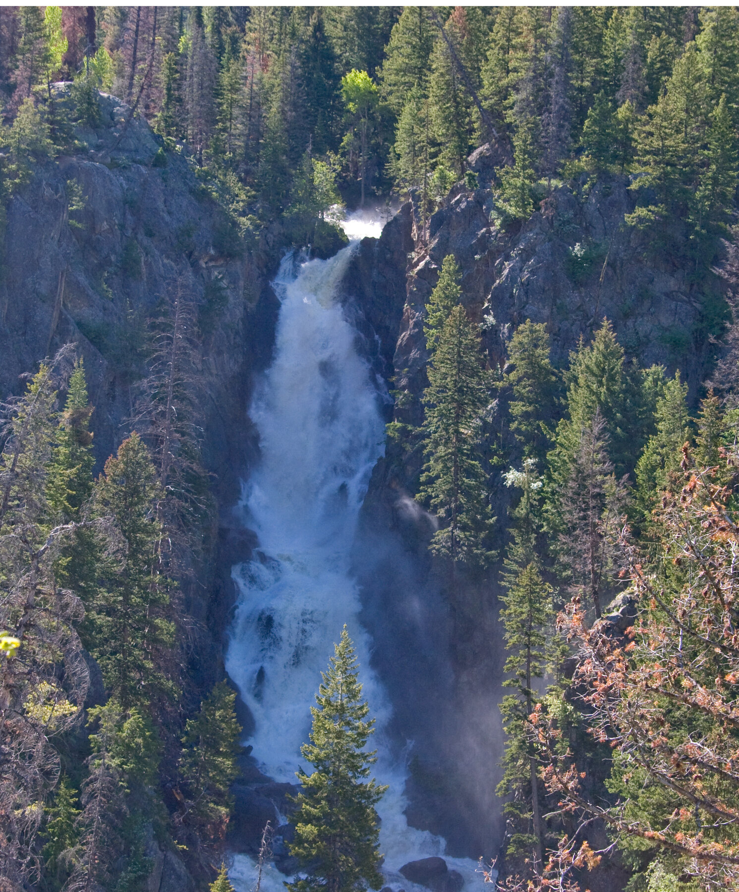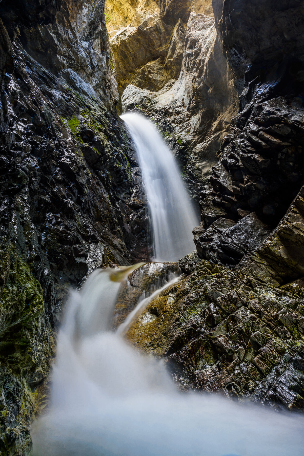
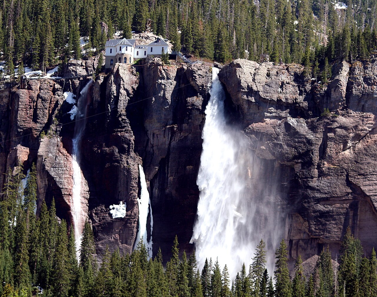
A high waterfall at the head of Telluride’s box canyon, below a historic power plant.
Bridal Veil Falls stands at the eastern end of Telluride’s box canyon. The destination’s official tourism site gives its height as 365 feet and notes the privately owned historic power plant above the drop. The surrounding slopes and canyon walls make the approach feel very different from a low-elevation park waterfall.
San Miguel County identifies a dedicated hiking trail from the Valley View parking area to the falls, helping separate walkers from motor traffic. It is primitive and steep, and adjacent private property must be respected. The county lists a seasonal trail closure from December 1 through April 30; snow and other hazards can affect practical access beyond those dates. Do not assume a regular car can drive the upper road: official tourism guidance restricts that option to high-clearance four-wheel-drive vehicles. Check current trail and road information before leaving town.
Know before you go
Use the Valley View trailhead area east of Telluride.
County lists December 1–April 30 trail closure; check conditions.
Primitive, steep mountain trail.
Check current parking and access information.
No verified step-free route; steep mountain terrain.
2026-10-11. Conditions and requirements can change; confirm with the land manager before travelling.
Sources & further reading
- San Miguel County — Bridal Veil Trail ↗
- Official Telluride tourism — Bridal Veil Falls ↗
- USGS Geographic Names Information System (GNIS) ↗
This is a researched visitor guide, not a claim that our editors have personally visited. Trail conditions, permits, and access can change.