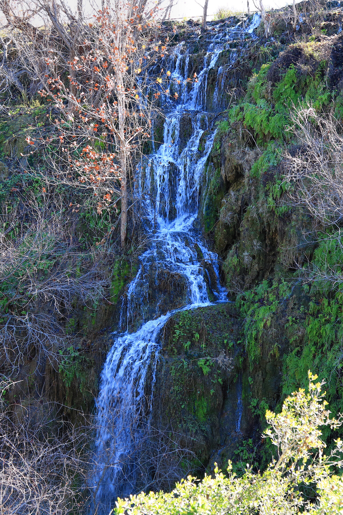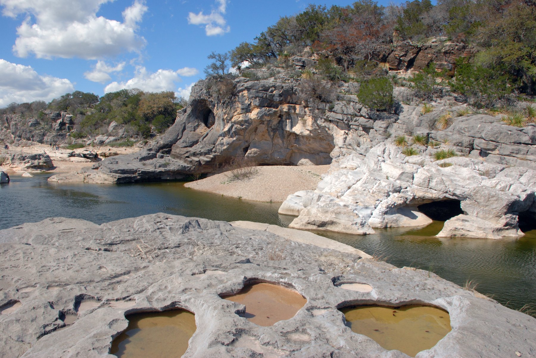
Texas's tallest waterfall at up to 175 feet, located on private ranch land in remote West Texas with no public access.
Capote Falls is generally cited as Texas's tallest waterfall, with a drop reported at up to 175 feet, in a remote canyon of northwestern Presidio County near the Rio Grande. There is no public visitor site here: the falls lie entirely within the privately owned Brite Ranch, far from any paved road, and the property is not open to hikers, sightseers, or the general public.
Short of direct permission from the ranch's owners, which is not something the public can arrange on demand, there is no legal way to reach the waterfall on foot. Some viewers have instead seen it from the air via commercial helicopter flyovers in the Big Bend region. No state or federal agency manages the site or publishes visitor information for it, and its flow is reported to be intermittent, so travelers should not plan a trip expecting to see or reach Capote Falls in person.
As of our 2026-10-12 review, Capote Falls has no public trail, road, or visitor facility; it lies entirely within the privately owned Brite Ranch and cannot be legally visited without the landowner's permission. Treat this as a non-visitable site rather than planning a trip to reach it. Check the current notice ↗
Know before you go
No public access. Capote Falls sits entirely within the privately owned Brite Ranch in remote northwestern Presidio County, with no public road, trailhead, or visitor facility; visiting requires the landowner's permission, which is not something the public can arrange on demand.
Reported to flow intermittently; conditions cannot be verified without an official access point or managing agency.
None. There is no public trail or legal hiking access to the falls.
Not applicable; no public visitor program exists.
Not applicable; the site has no public access.
2026-10-12. Conditions and requirements can change; confirm with the land manager before travelling.
Sources & further reading
This is a researched visitor guide, not a claim that our editors have personally visited. Trail conditions, permits, and access can change.