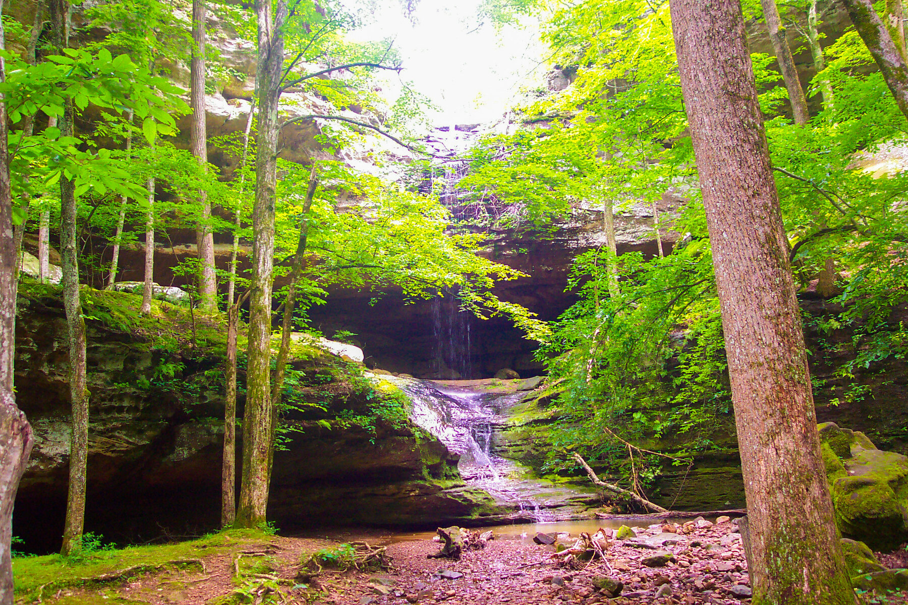
A historic rapids feature of the Illinois River at Starved Rock, now within the river's dammed pool; the park's canyon waterfalls are what's actually visible today.
This USGS-named feature marks a stretch of the Illinois River in LaSalle County at Starved Rock, where early travelers encountered natural rapids at the base of the sandstone butte before the river was engineered for navigation. That stretch now sits within the pool held back by the Starved Rock Lock and Dam, built in the 1920s-30s as part of the Illinois Waterway; we could not confirm, on any official source checked, a current marked overlook or trail built specifically to view a falls at this location.
What is verifiable and open to visit nearby is Starved Rock State Park itself, managed by the Illinois Department of Natural Resources, where 18 sandstone canyons hold seasonal, rain-fed waterfalls - including French, LaSalle, Ottawa and St. Louis Canyons - above the same river valley. At our review, the park was partway through an $18 million, multi-year trail improvement project: LaSalle, Tonti, Pontiac, Basswood and Lonetree Canyons, Sandstone Point, and the LaSalle Canyon parking lot were closed, while French Canyon, St. Louis Canyon, Aurora Canyon and the Starved Rock/Overlook trails remained open. Check the park's current closures page before planning a route.
As of this review, Illinois DNR listed LaSalle, Tonti, Pontiac, Basswood and Lonetree Canyons, the LaSalle Canyon parking lot, Sandstone Point and the Brown Bluff trail as closed for an $18 million trail improvement project running into 2027; French Canyon, St. Louis Canyon, Aurora Canyon and the Starved Rock/Overlook trails remained open. Check the official closures page for updates. Check the current notice ↗
Know before you go
Starved Rock State Park, Illinois Route 71, Oglesby/Utica, LaSalle County; no dedicated modern access point for this specific historic river feature could be confirmed.
Park trails open year-round, 7 a.m. to sunset; the canyon waterfalls are seasonal and rain-fed, and often freeze in winter.
No official distance available for this specific feature; trails to the park's canyon waterfalls vary - check the current trail map given an active construction project.
No waterfall-specific fee found; check the park page for visitor center or parking charges.
Verify current accessible routes given the ongoing trail improvement project.
2026-10-12. Conditions and requirements can change; confirm with the land manager before travelling.
Sources & further reading
- Illinois DNR — Starved Rock State Park ↗
- Illinois DNR — Starved Rock Trail Improvement Project ↗
- USGS Geographic Names Information System (GNIS) ↗
This is a researched visitor guide, not a claim that our editors have personally visited. Trail conditions, permits, and access can change.