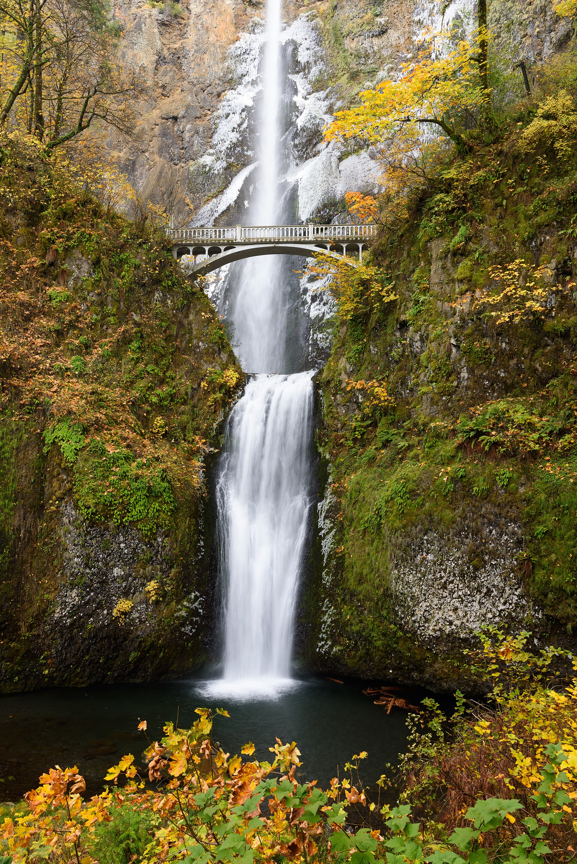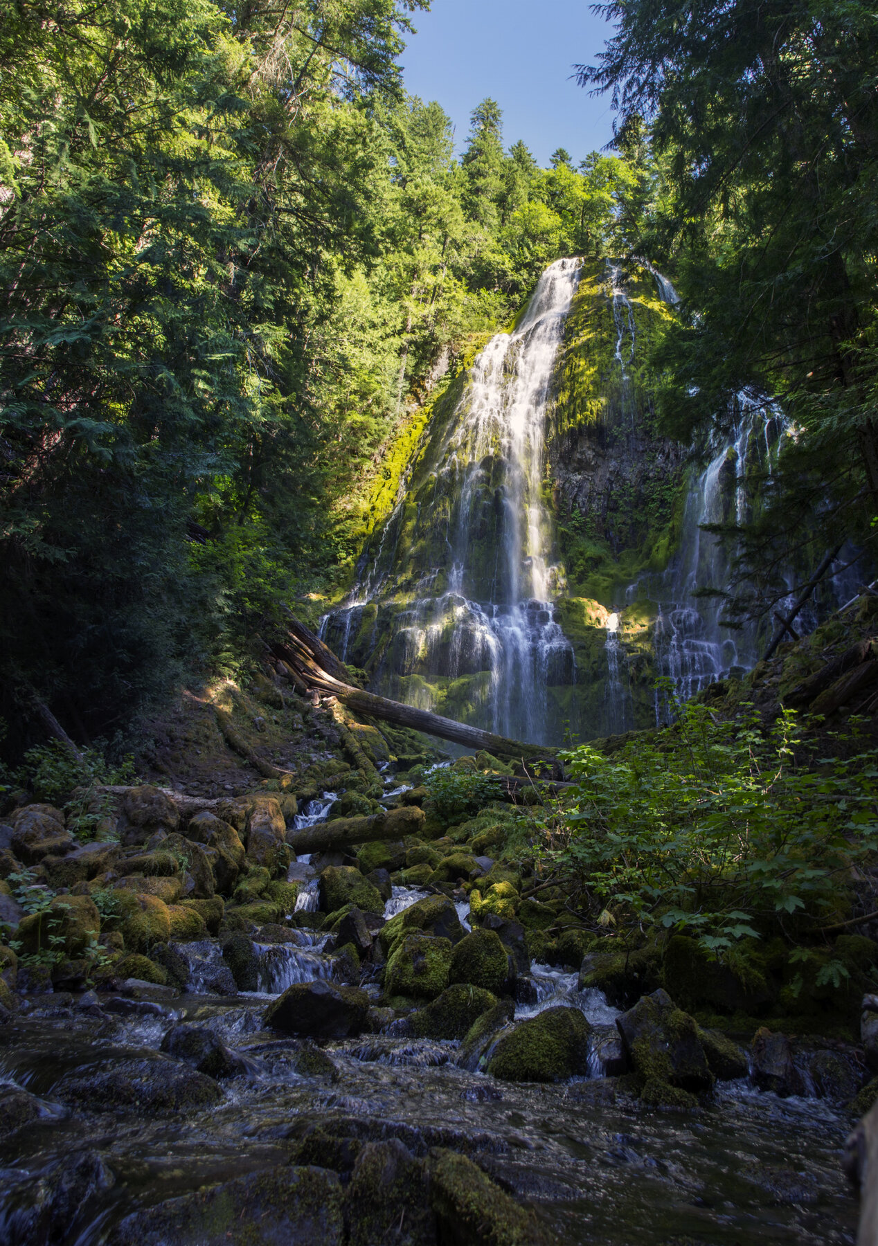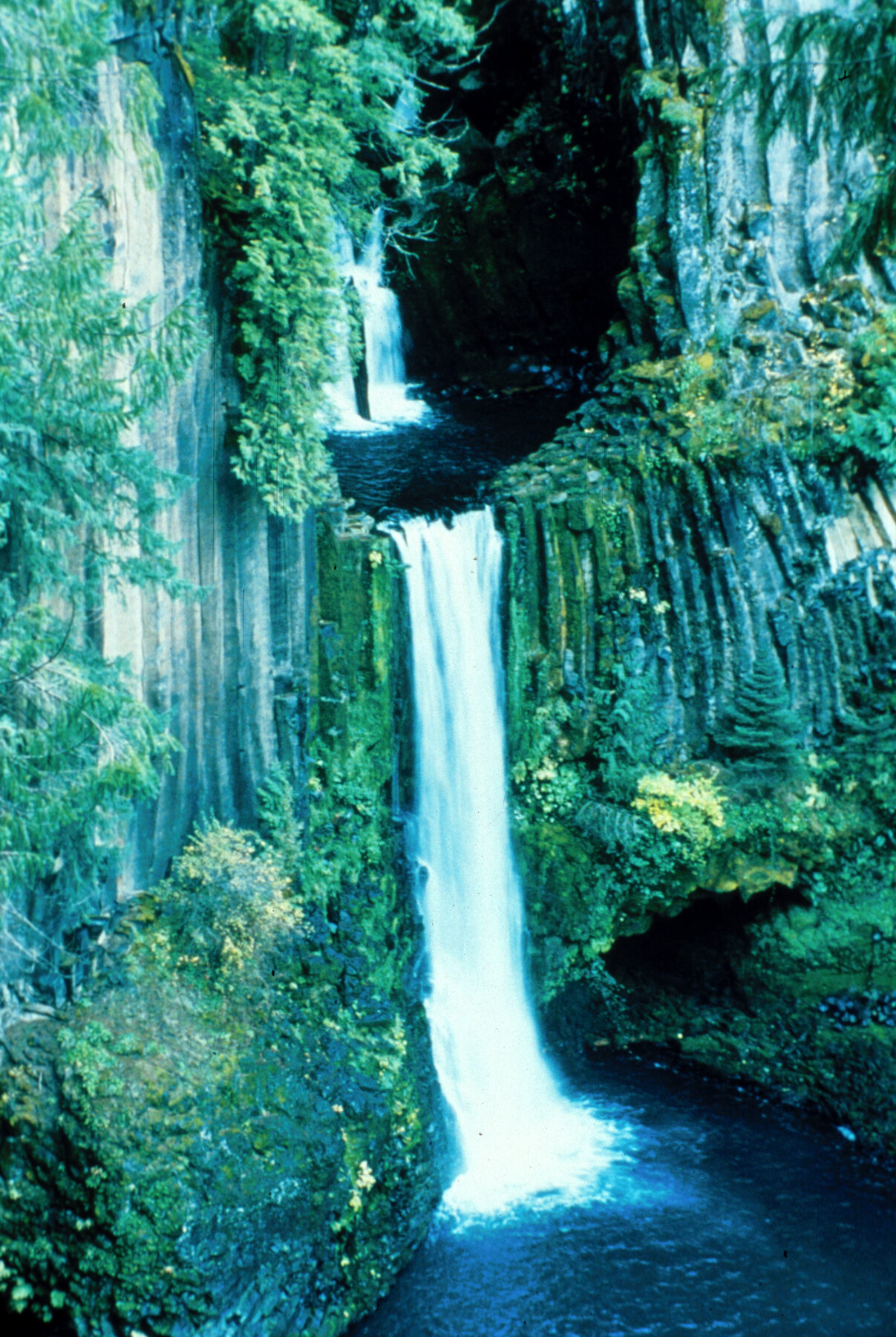
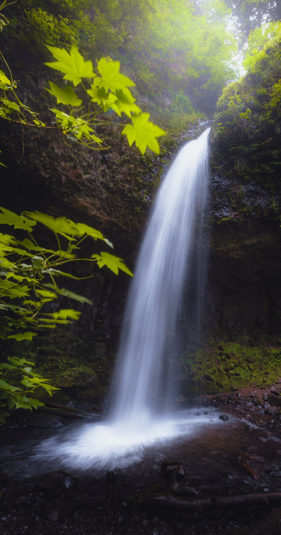
A 224-foot columnar-basalt plunge visible from the parking area in the Columbia River Gorge, with a second fall upstream.
Latourell Falls drops in two tiers along Latourell Creek in the Columbia River Gorge, within Guy W. Talbot State Park. The lower fall makes a 224-foot plunge over columnar basalt visible right from the parking area off the Historic Columbia River Highway, while a short climb reaches Upper Latourell Falls, which Oregon State Parks describes as the third-tallest waterfall in the Gorge.
The Latourell Falls Loop is a 2-mile route that Oregon State Parks rates moderately difficult, crossing the highway on a staircase and passing through dense vegetation and over four small wooden bridges along the creek to reach the upper falls. A day-use parking permit is required and can be purchased on site. As of September 2025, the park falls within Multnomah County's emerald ash borer quarantine zone, so visitors should source firewood locally or use certified heat-treated wood rather than bringing in ash, olive, or white fringe tree material. Check the official park page for current trail and parking conditions before visiting.
Effective September 9, 2025, Guy W. Talbot State Park falls within Multnomah County's emerald ash borer quarantine zone; firewood and other ash, olive, or white fringe tree material brought from outside the zone is restricted. Check the official park page for current details. Check the current notice ↗
Know before you go
Guy W. Talbot State Park on the Historic Columbia River Highway, about 12 miles east of Troutdale, Oregon.
Open year-round; check the official page for seasonal and quarantine-related notices.
Latourell Falls Loop: about 2 miles, rated moderately difficult by Oregon State Parks, crossing the highway and several creek bridges.
Day-use parking permit required; one-day permits can be purchased on site.
Lower falls are visible near the parking area; the loop to the upper falls involves stairs and uneven terrain.
2026-10-11. Conditions and requirements can change; confirm with the land manager before travelling.
Sources & further reading
- Oregon State Parks — Latourell Falls Trailhead (Guy W. Talbot State Park) ↗
- USGS Geographic Names Information System (GNIS) ↗
This is a researched visitor guide, not a claim that our editors have personally visited. Trail conditions, permits, and access can change.