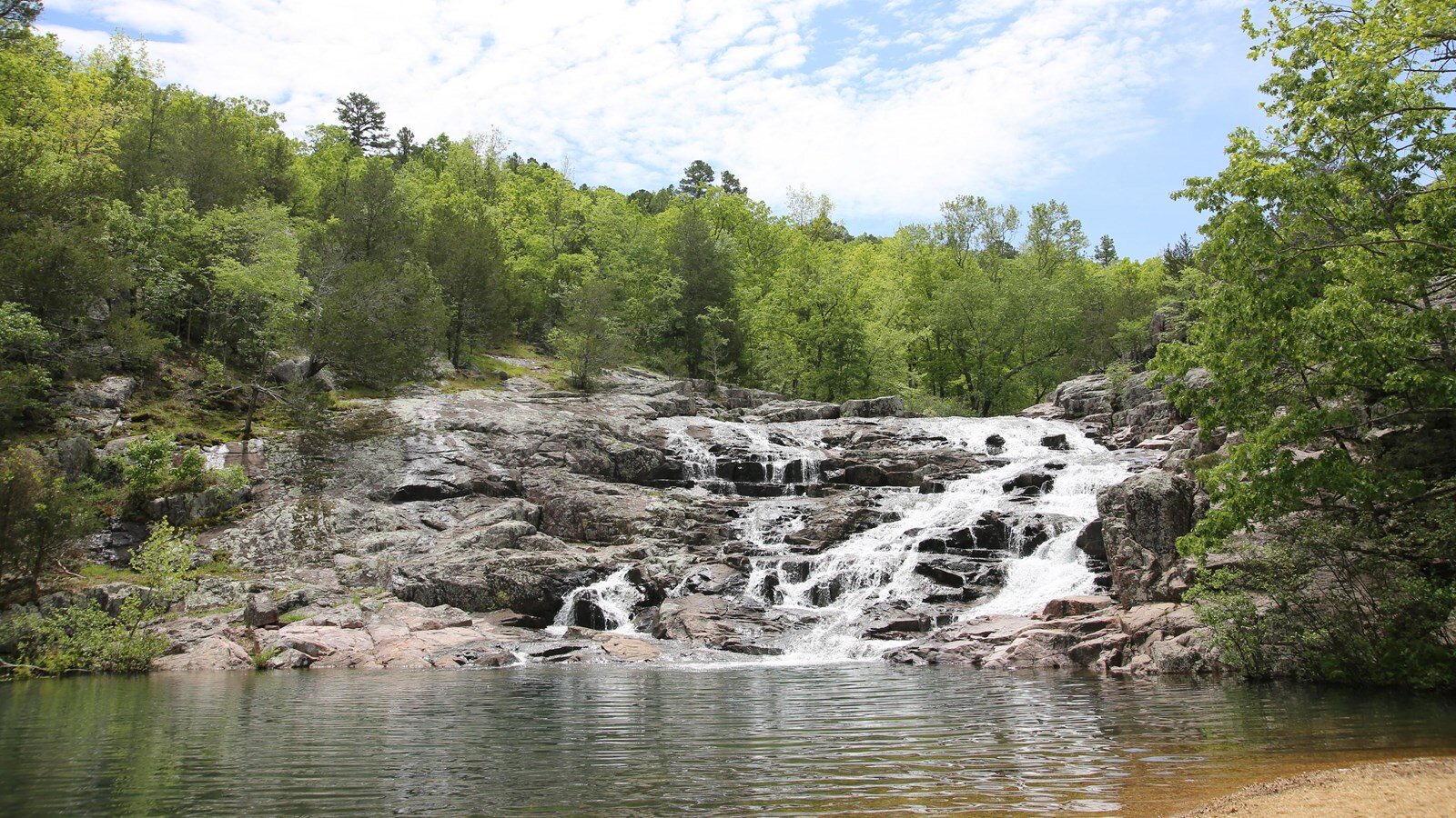
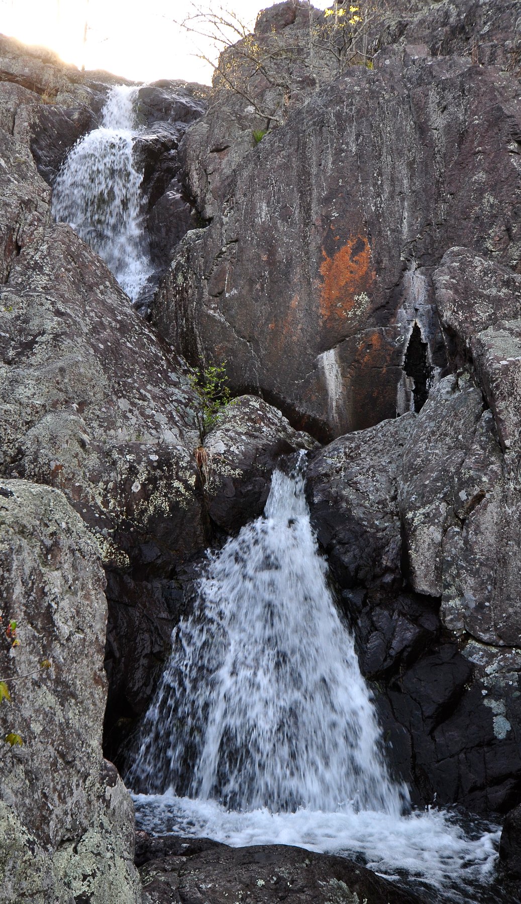
Missouri's highest waterfall, a 132-foot wet-weather cascade over a series of ledges near the state's highest point.
Mina Sauk Falls cascades about 132 feet over a series of igneous ledges in Taum Sauk Mountain State Park, close to Taum Sauk Mountain itself — Missouri's highest point at 1,772 feet. It is a true wet-weather waterfall: strongest right after rain and reduced to a trickle or nothing during dry spells, so timing a visit around recent weather matters more here than at a spring-fed falls.
The loop trail to the falls is about 3 miles with real elevation change over rugged, rocky ground, rated strenuous by most guides. A paved, wheelchair-accessible path from the parking area leads separately to the mountain's summit viewpoint, but the falls themselves require the full rugged loop. Wear real hiking shoes and allow extra time for the climb back out.
Know before you go
Taum Sauk Mountain State Park, Iron County, MO.
A wet-weather waterfall, strongest right after rain; can be dry in summer.
About 3-mile loop with real elevation gain; rated strenuous.
No fee; Missouri state park with free admission.
The falls loop is not accessible; a separate short paved path reaches the summit viewpoint.
2026-10-11. Conditions and requirements can change; confirm with the land manager before travelling.
Sources & further reading
- Missouri State Parks — Taum Sauk Mountain State Park ↗
- USGS Geographic Names Information System (GNIS) ↗
This is a researched visitor guide, not a claim that our editors have personally visited. Trail conditions, permits, and access can change.