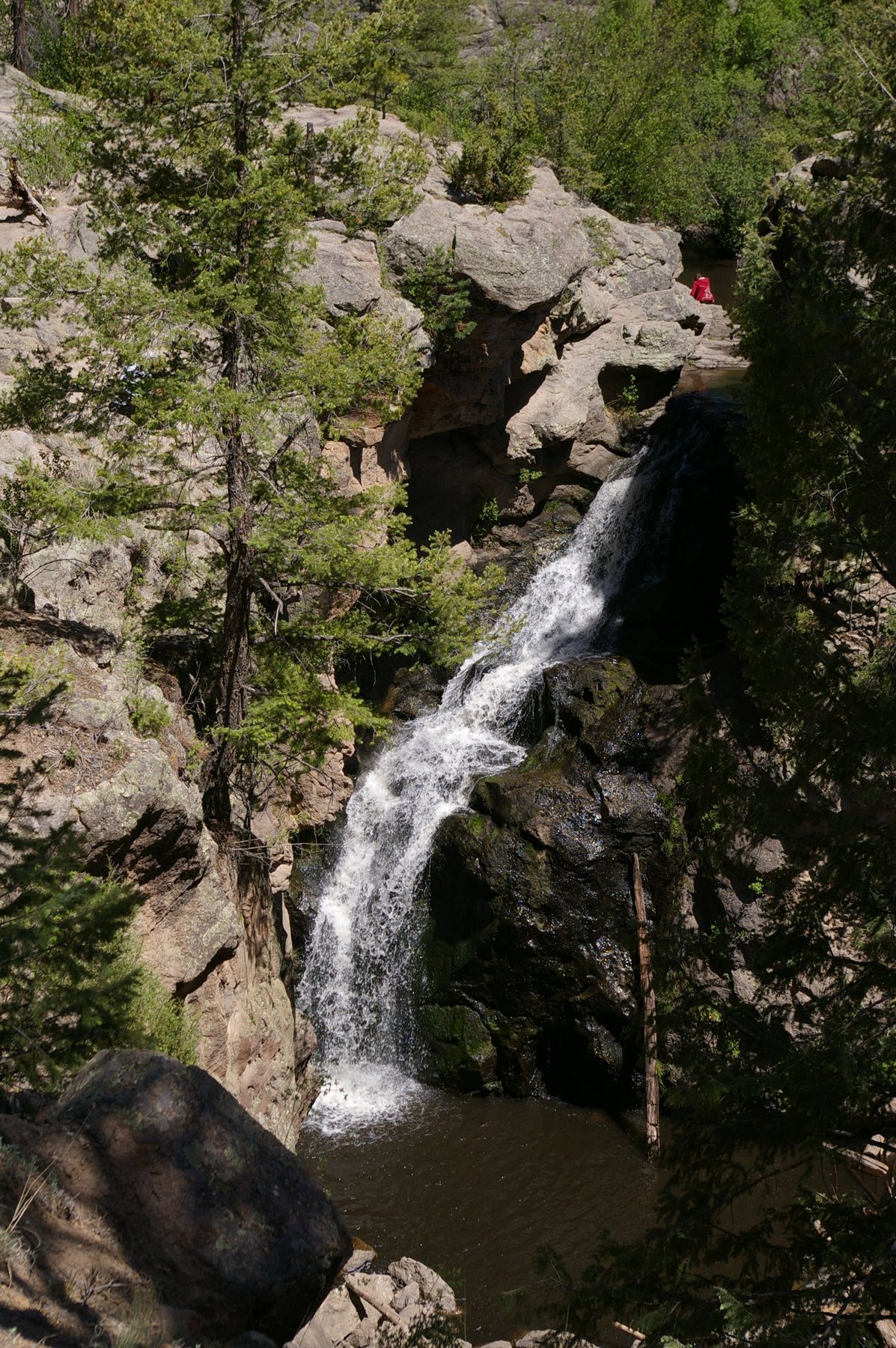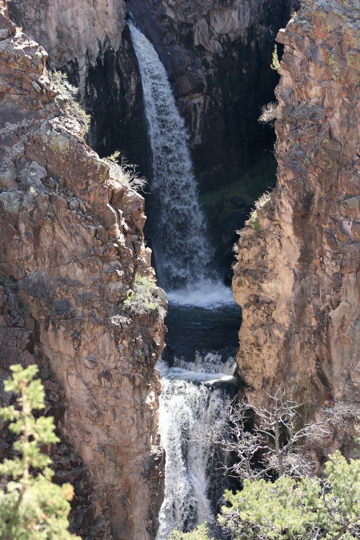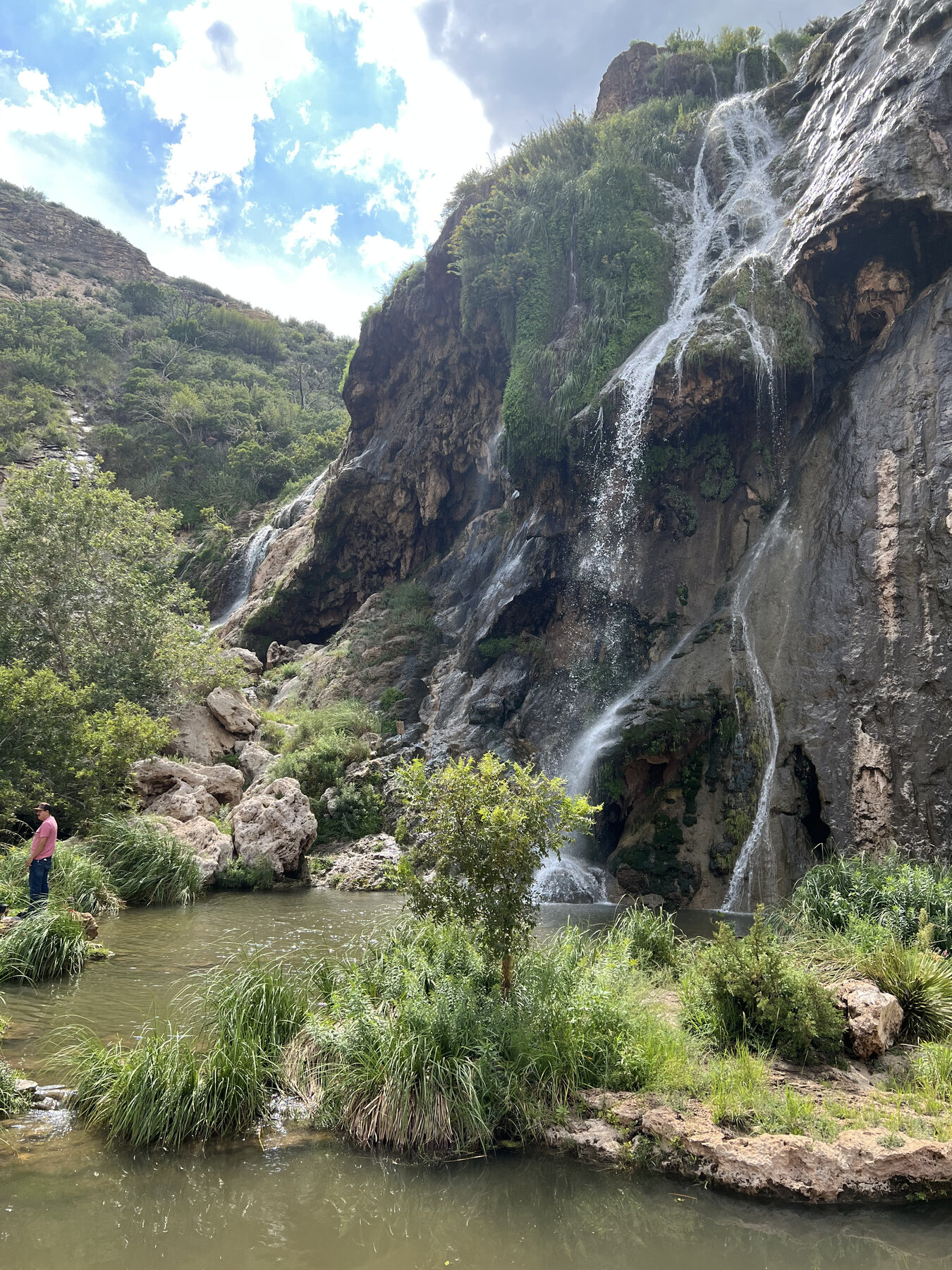
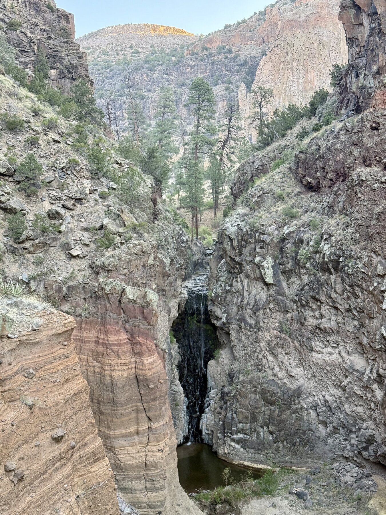
A waterfall on Frijoles Creek reached by a steep 1.5-mile canyon trail in Bandelier National Monument.
Upper Frijoles Falls is reached via Bandelier National Monument's Falls Trail, which drops about 400 vertical feet over 1.5 miles from the Backpacker's parking lot near the visitor center down into Frijoles Canyon. The National Park Service describes it as a popular route past tent-rock and basalt formations before ending at the falls on Frijoles Creek; flash flooding in 2011 and 2013 destroyed the former continuation of the trail to the Lower Falls and the Rio Grande, so the Falls Trail now terminates here.
The trail is steep, includes plank bridges and steep drop-offs, and the NPS states it is not accessible to wheelchairs or strollers; it is also not cleared of snow and can be extremely icy in winter. Standard Bandelier entrance fees apply, and the park does not accept cash. Visitors should carry their own water, since creek water requires treatment before drinking, and should check the monument's current conditions page before heading out, since canyon trail conditions shift with weather and seasonal flooding.
Know before you go
Bandelier National Monument, Frijoles Canyon; reached via the Falls Trail from the Backpacker's parking lot near the main visitor center.
Not cleared of snow in winter and can be extremely icy; carry ample water in warmer months since creek water requires treatment.
Falls Trail, about 1.5 miles one way with roughly a 400-foot descent; the trail now ends at the Upper Falls and no longer continues to the Lower Falls or Rio Grande due to 2011 and 2013 flood damage.
Standard Bandelier entrance fee, $25 per private vehicle at our review (America the Beautiful passes honored); the park does not accept cash.
NPS states the trail is not accessible to wheelchairs or strollers.
2026-10-12. Conditions and requirements can change; confirm with the land manager before travelling.
Sources & further reading
- NPS — Bandelier National Monument, Falls Trail ↗
- NPS — Bandelier National Monument, Fees ↗
- USGS Geographic Names Information System (GNIS) ↗
This is a researched visitor guide, not a claim that our editors have personally visited. Trail conditions, permits, and access can change.