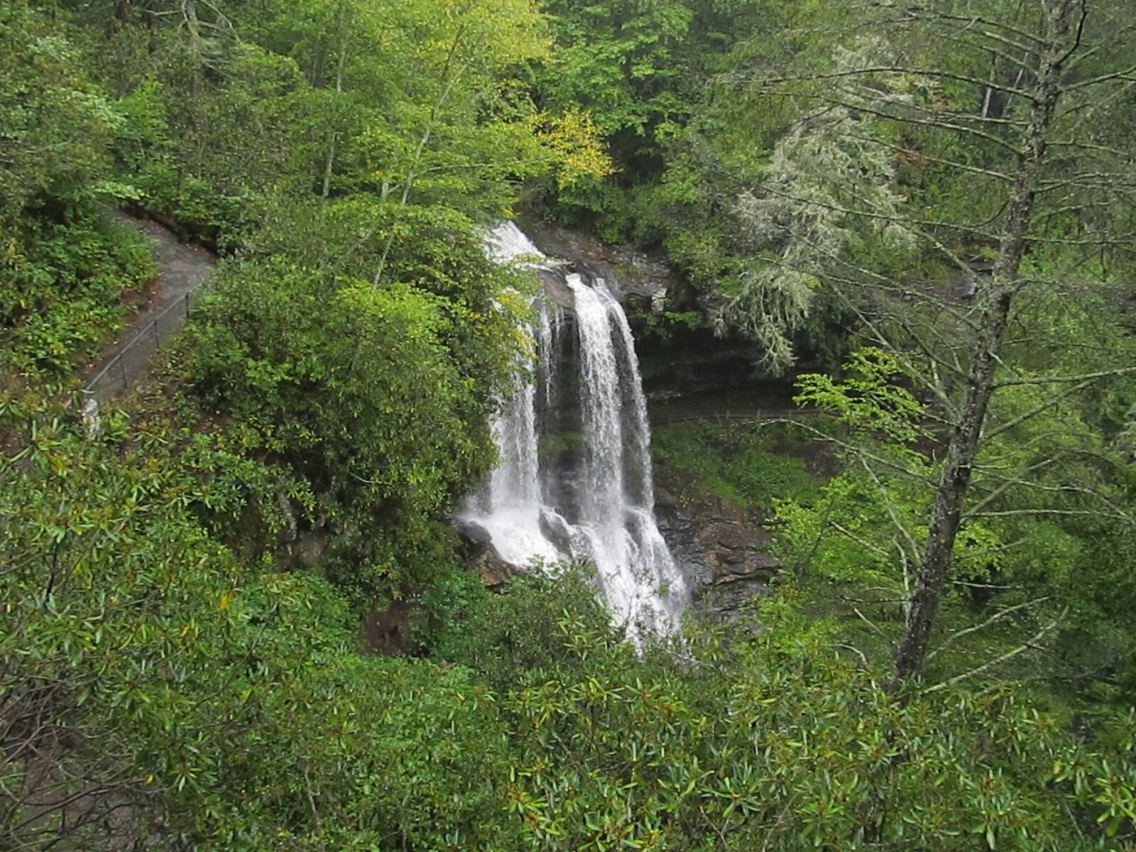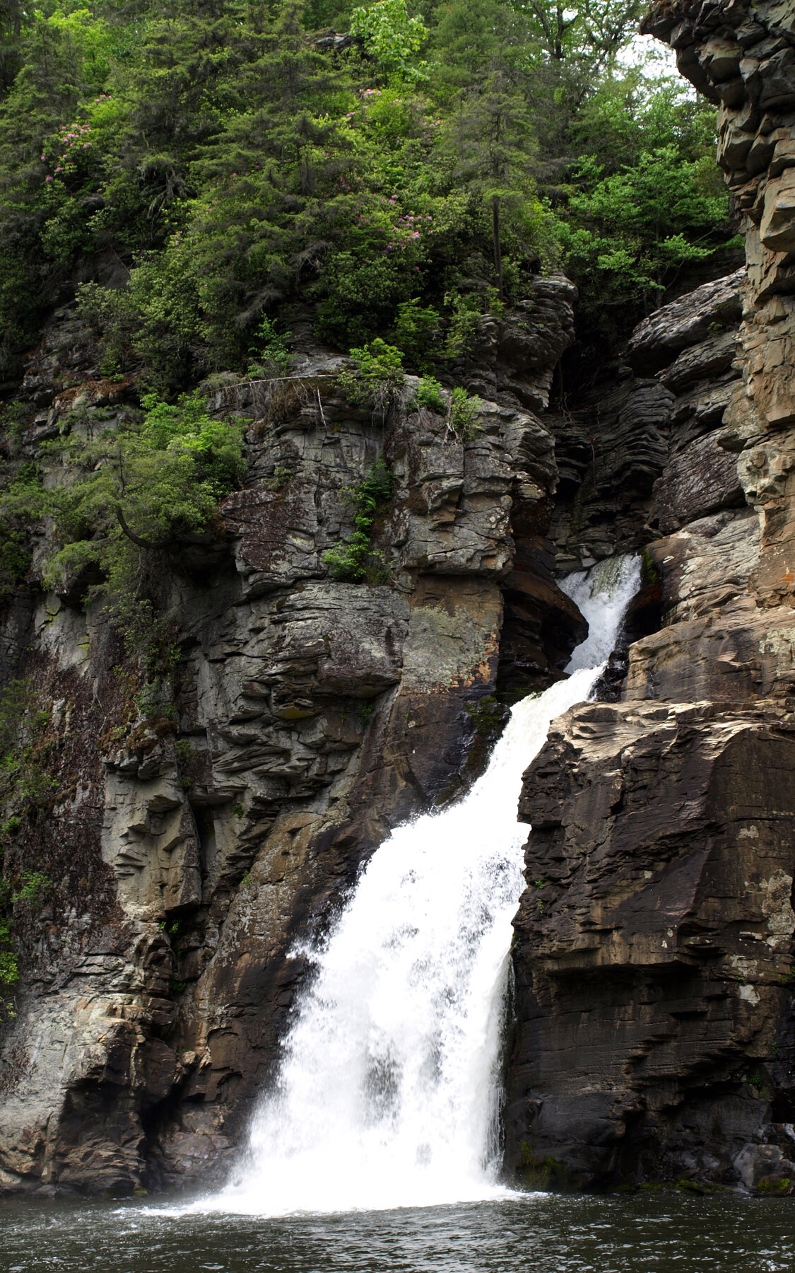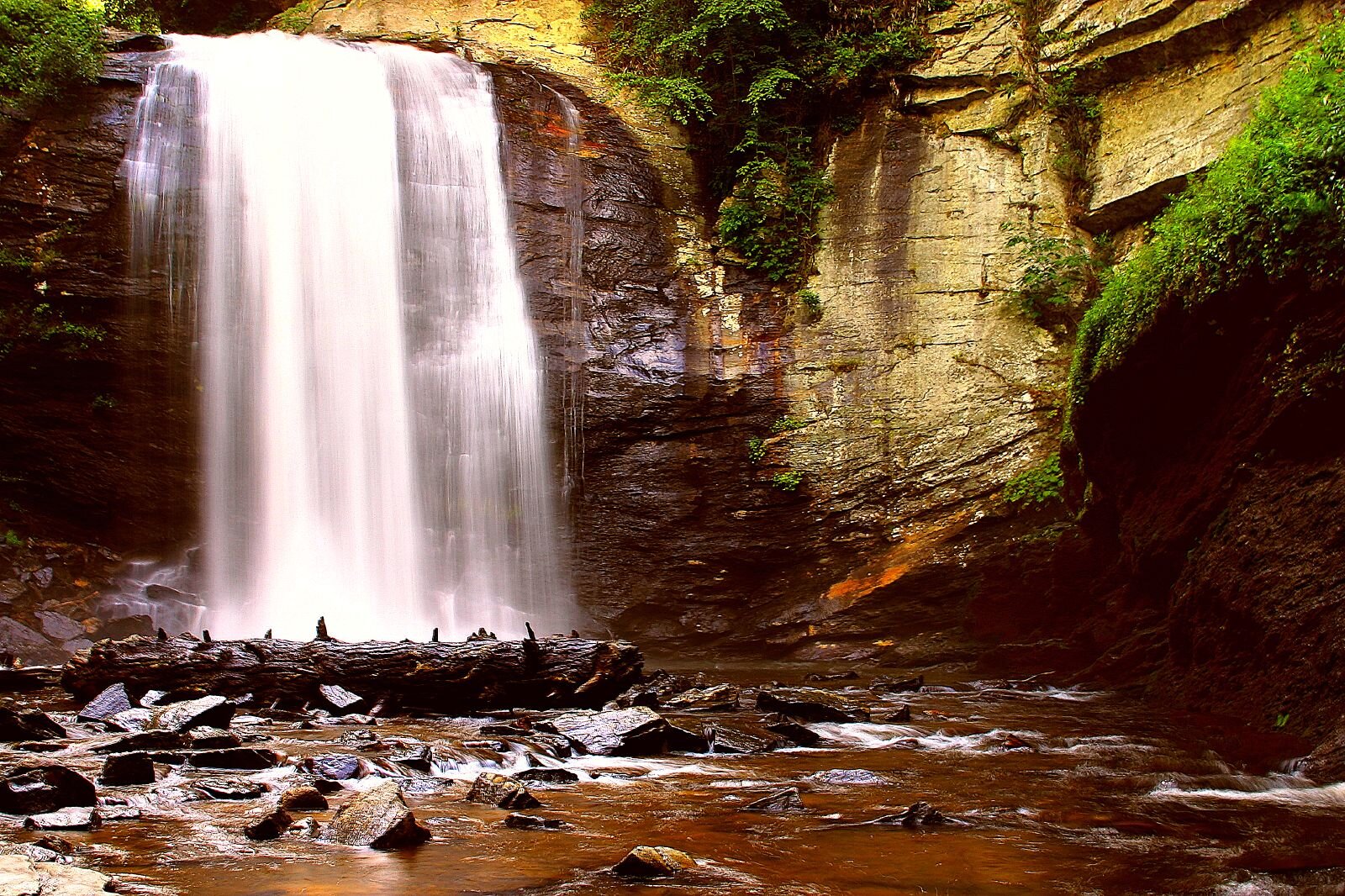
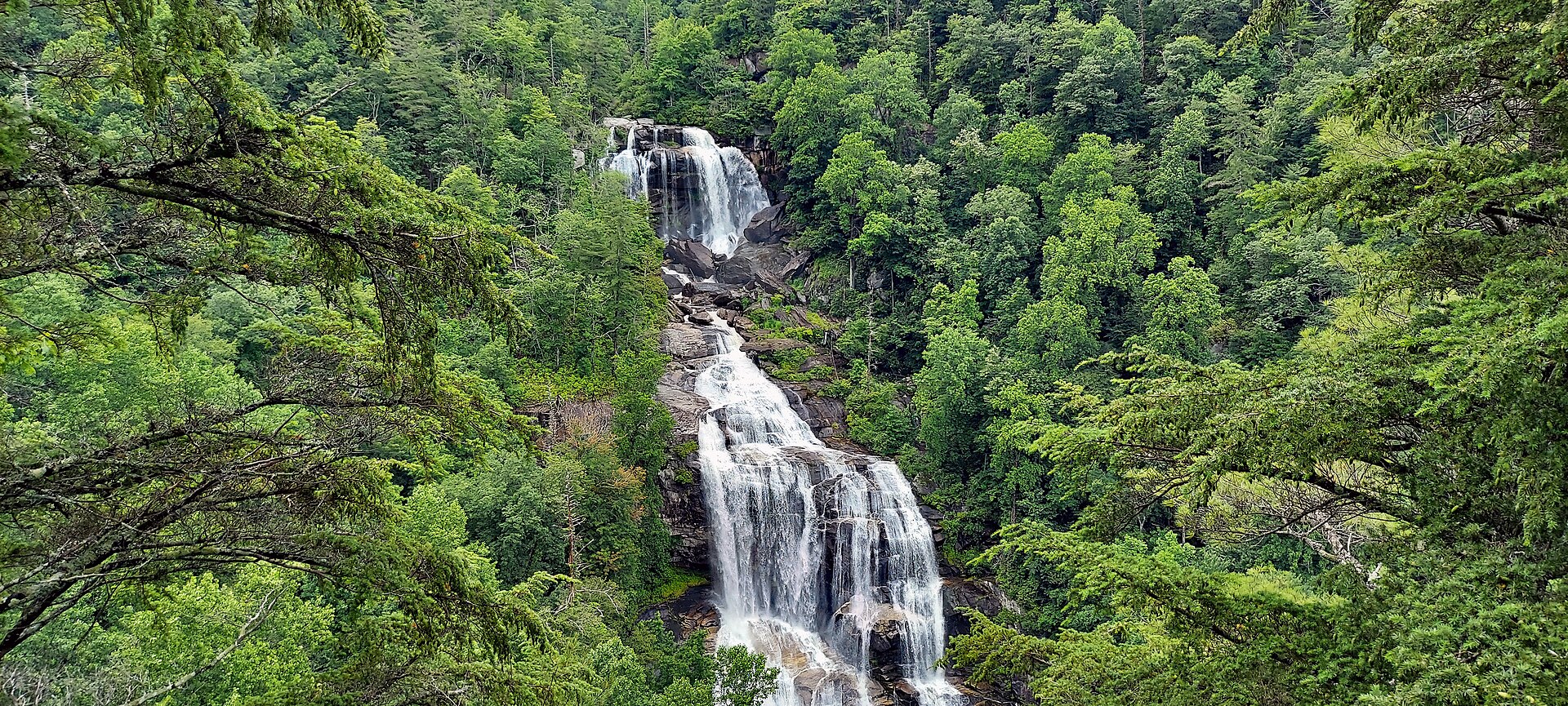
A high forest waterfall viewed from established overlooks near the North Carolina–South Carolina border.
Upper Whitewater Falls descends 411 feet on the North Carolina side of the Whitewater River system. Its developed recreation area is designed for viewing from a distance, where the full sweep of the waterfall can be appreciated against the wooded slope. This guide concerns the upper waterfall, not the separate lower falls downstream in South Carolina.
Follow the paved walkway from the parking area to the upper overlook. A second viewpoint is reached by 154 wooden steps, giving a different angle but also adding a climb on the return. The Forest Service identifies the upper walkway as wheelchair accessible. Stay on the designated approaches: leaving the trail for a closer photograph introduces severe fall hazards. A day-use pass is required, and limited connectivity makes advance planning useful. Check current forest alerts and carry any pass confirmation you need.
Know before you go
Whitewater Falls recreation area off NC 281.
Check forest alerts and local weather before travel.
Paved upper-view walk; lower overlook adds 154 steps.
Day-use pass required; check Recreation.gov.
Upper walkway is identified as wheelchair accessible.
2026-10-11. Conditions and requirements can change; confirm with the land manager before travelling.
Sources & further reading
- Recreation.gov — Whitewater Falls Pass ↗
- US Forest Service — Whitewater Falls brochure ↗
- USGS Geographic Names Information System (GNIS) ↗
This is a researched visitor guide, not a claim that our editors have personally visited. Trail conditions, permits, and access can change.