 Visitor guide
Nebraska · Cherry
Smith Falls
Nebraska's tallest waterfall at about 63 feet, reached by a footbridge across the Niobrara River in the state's newest state park.
8 mapped waterfall locations in our current Nebraska index. Browse by name, switch to the map, or open a listing for coordinates and source information.
Search by waterfall, state, or county. Start with a visitor guide, or explore every mapped location.
Visitor guideNebraska's tallest waterfall at about 63 feet, reached by a footbridge across the Niobrara River in the state's newest state park.
 Visitor guide
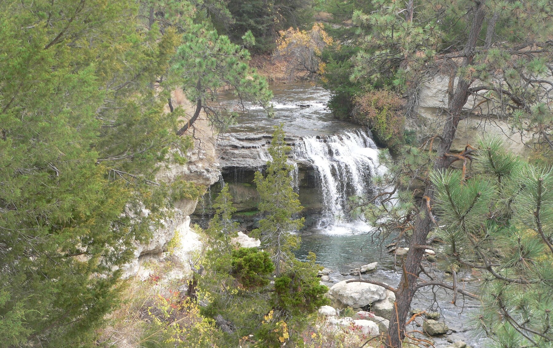
A wide, privately managed waterfall on the Snake River near Nebraska's Merritt Reservoir.
A named waterfall feature in the Cherry area of Nebraska. Explore its recorded location and geographic notes.
A named waterfall feature in the Cherry area of Nebraska. Explore its recorded location and geographic notes.
A named waterfall feature in the Cherry area of Nebraska. Explore its recorded location and geographic notes.
A named waterfall feature in the Cherry area of Nebraska. Explore its recorded location and geographic notes.
A named waterfall feature in the Holt area of Nebraska. Explore its recorded location and geographic notes.
A named waterfall feature in the Cherry area of Nebraska. Explore its recorded location and geographic notes.
Turquoise pins are location records; gold pins have visitor guides. Pins identify source feature locations, not confirmed parking or public access. Open a listing for its Google Maps link.