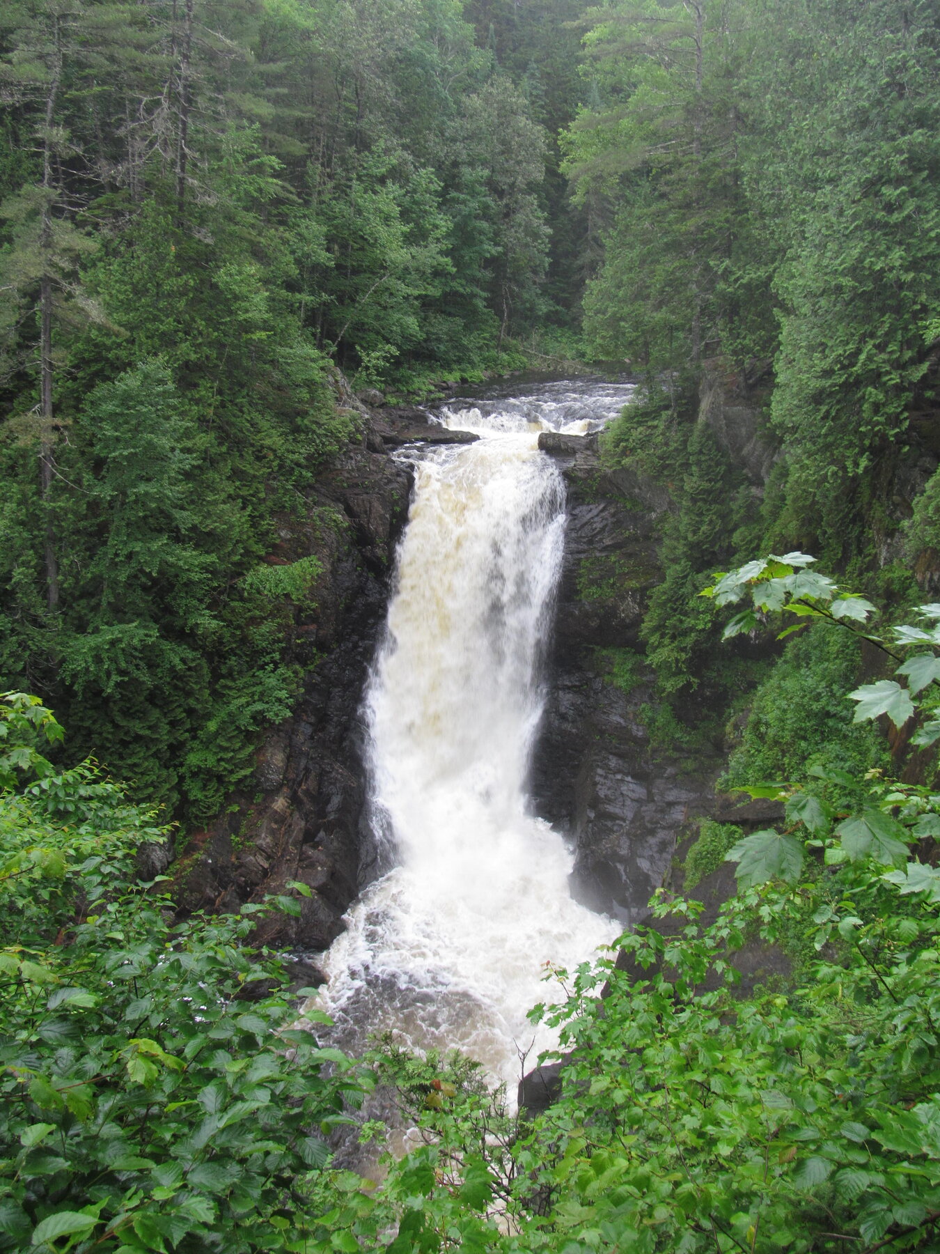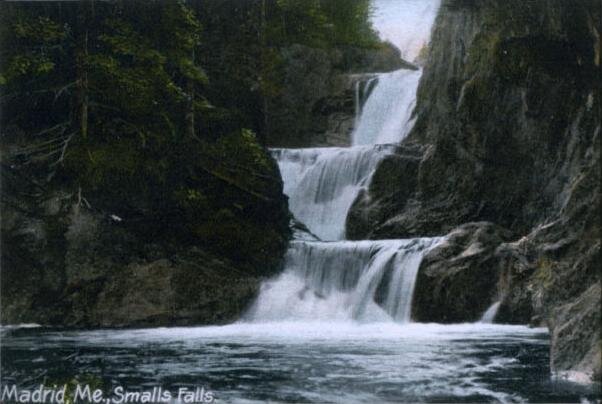
A 90-foot tiered waterfall on Mountain Brook near Rangeley, framed by cliffs about 115 feet high.
Angel Falls descends in plunging tiers totaling about 90 feet on Mountain Brook, west of Rangeley in Maine's western mountains, with surrounding cliffs rising roughly 115 feet. The name comes from the shape the falling water can take when conditions are right. Reaching it takes a rugged, rocky, and often root-crossed trail of roughly 1.5 miles round trip.
A stream crossing partway along the route can be difficult or impassable after heavy rain or during high runoff, so check conditions and be prepared to turn back rather than force a crossing. This is a backcountry destination without services nearby — bring proper footwear, water, and a map, and treat it as a real hike rather than a roadside stop.
Know before you go
Off South Shore Drive, west of Rangeley, in Maine's western mountains.
Spring runoff brings the strongest flow; stream crossing can be difficult after heavy rain.
About 1.5 miles round trip; rugged, rocky, and rooty with a stream crossing.
No fee; a backcountry trailhead without a staffed facility.
Not accessible; rugged unmaintained trail with a stream crossing.
2026-10-11. Conditions and requirements can change; confirm with the land manager before travelling.
Sources & further reading
- World of Waterfalls — Angel Falls, Maine ↗
- Rangeley Lakes Region — Waterfalls ↗
- USGS Geographic Names Information System (GNIS) ↗
This is a researched visitor guide, not a claim that our editors have personally visited. Trail conditions, permits, and access can change.