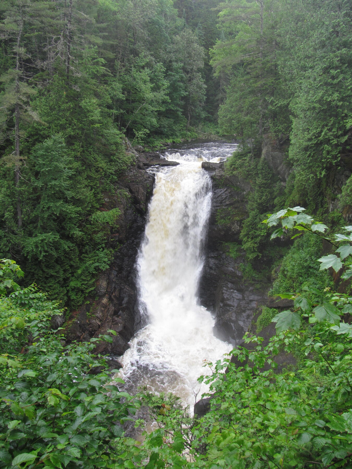
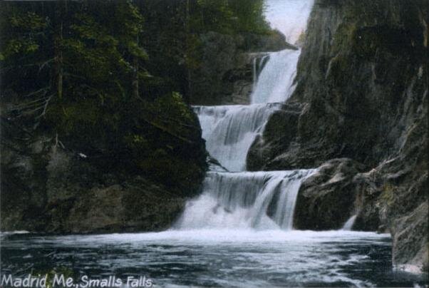
A multi-tiered cascade on the Sandy River at a free roadside rest area on Route 4 in Franklin County.
Smalls Falls is a multi-tiered cascade on the Sandy River at a roadside rest area on Route 4 in Township E, Franklin County, in Maine's unorganized territory near the Rangeley Lakes region. The falls descend through a series of ledges and pools; older state geological survey descriptions characterize the run as several distinct steps totaling roughly 50 feet, though we could not confirm current figures on an active official page, so treat any specific footage as approximate until posted signage confirms it. The site is a simple pull-off rather than a staffed state park, equipped with parking, pit toilets and picnic tables.
There is no formal interpretive trail here: visitors typically follow a short, informal path from the parking area down along the ledges and pools, and the falls has long been a popular local swimming and photography stop right off the highway. Maine's Bureau of Parks and Lands does not list Smalls Falls among its fee-charging state parks, consistent with free, unstaffed access, but the bureau's website does not currently carry a dedicated visitor page for the site. Check current signage or contact the bureau directly for up-to-date parking capacity, trail conditions and any seasonal notices before visiting.
Know before you go
Roadside rest area directly on Route 4, Township E (unorganized territory), Franklin County, ME.
Open-access rest area; no posted seasonal closure found, but conditions are unstaffed and unplowed in winter.
No formal trail; a short informal path leads from the parking area to the ledges and pools.
Not listed among Maine's fee-charging state parks; appears to be free, unstaffed access.
Not documented on an official page; terrain includes uneven rock and pools. Verify locally.
2026-10-12. Conditions and requirements can change; confirm with the land manager before travelling.
Sources & further reading
- Maine Bureau of Parks and Lands ↗
- Maine Bureau of Parks and Lands — Park Day Use Fees ↗
- USGS Geographic Names Information System (GNIS) ↗
This is a researched visitor guide, not a claim that our editors have personally visited. Trail conditions, permits, and access can change.