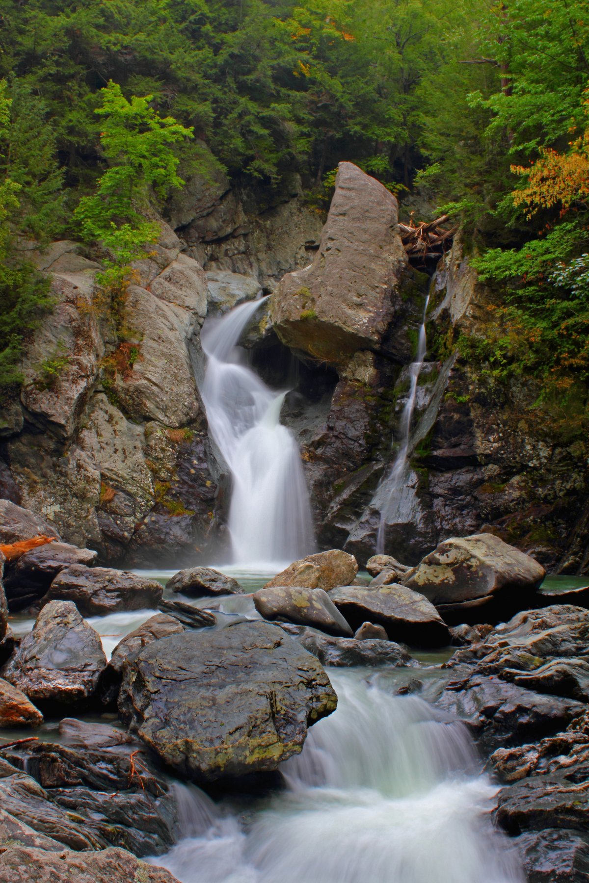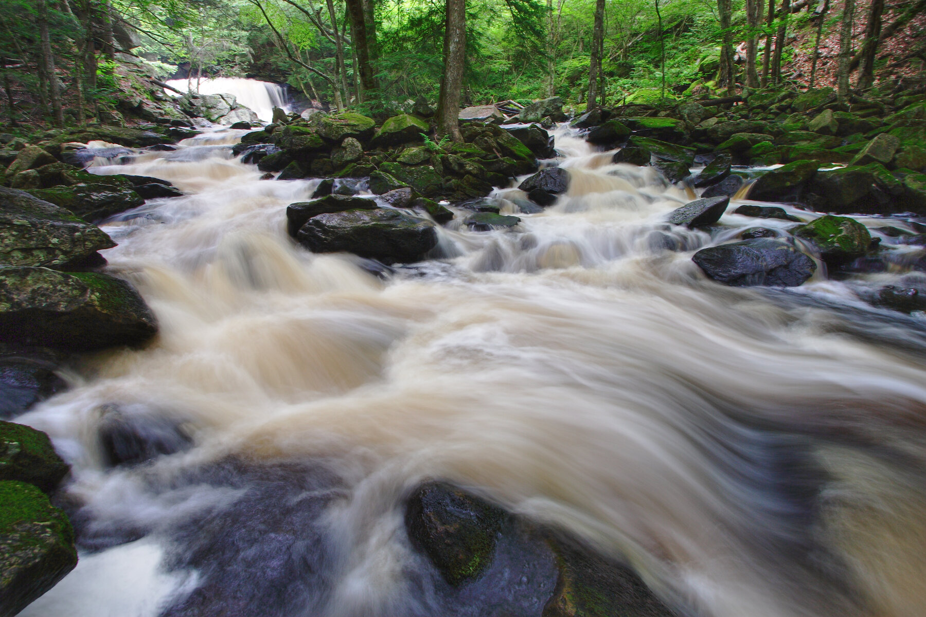
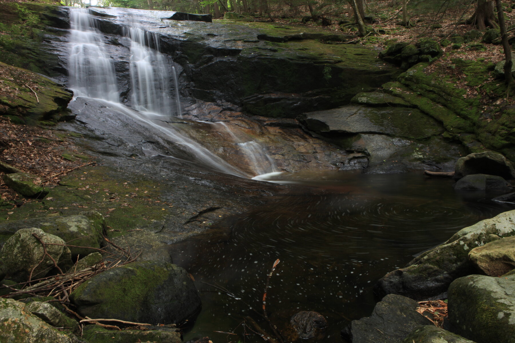
A series of bedrock-ledge cascades and pools on Chapel Brook at The Trustees' Chapel Brook Reservation in Ashfield.
Chapel Falls is the signature feature of Chapel Brook, a Trustees of Reservations property in Ashfield, in the Connecticut River Valley. Chapel Brook cascades over three bedrock ledges into a series of pools, and the swimming holes below the falls are the main draw for most visitors; the property also climbs toward the 1,420-foot summit of Pony Mountain by way of the strenuous Summit Trail. Admission is free, and the reservation is open daily, sunrise to sunset.
Roadside parking for about a dozen cars sits on both sides of Williamsburg Road at the reservation entrance; from there it's a short walk to the falls and pools, while the full Summit Trail, the D.A.R. Trail, or the Two Bridges Trail call for one and a half to three hours. Dogs are welcome but must be leashed at all times. The Trustees keep the property open through winter but do not plow the parking area, so conditions can be rough in snow - check current trail and weather notices before visiting, and expect the falls and swimming holes to be most appealing in warmer months.
Know before you go
Chapel Brook Reservation (The Trustees of Reservations), Williamsburg Road, Ashfield, MA; roadside parking for about 12 cars on both sides of the road.
Open year-round, daily sunrise to sunset; parking area is not plowed in winter.
Short walk to the falls and pools; the Summit Trail to Pony Mountain's 1,420-foot summit, plus the D.A.R. and Two Bridges Trails, take about 1.5-3 hours round trip.
Free to all.
No accessible-trail designation found; terrain includes bedrock ledges and uneven paths. Confirm options with The Trustees.
2026-10-12. Conditions and requirements can change; confirm with the land manager before travelling.
Sources & further reading
This is a researched visitor guide, not a claim that our editors have personally visited. Trail conditions, permits, and access can change.