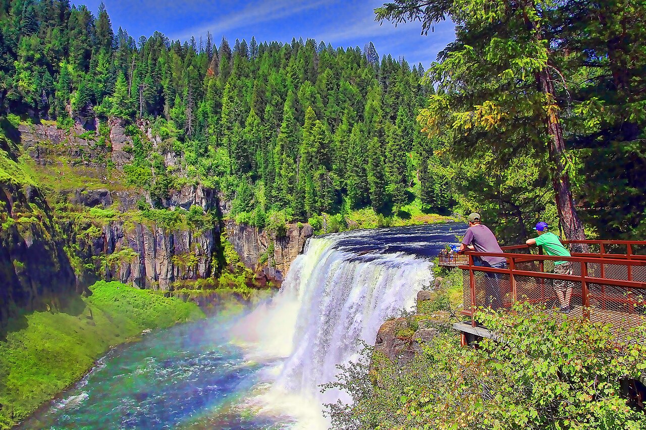
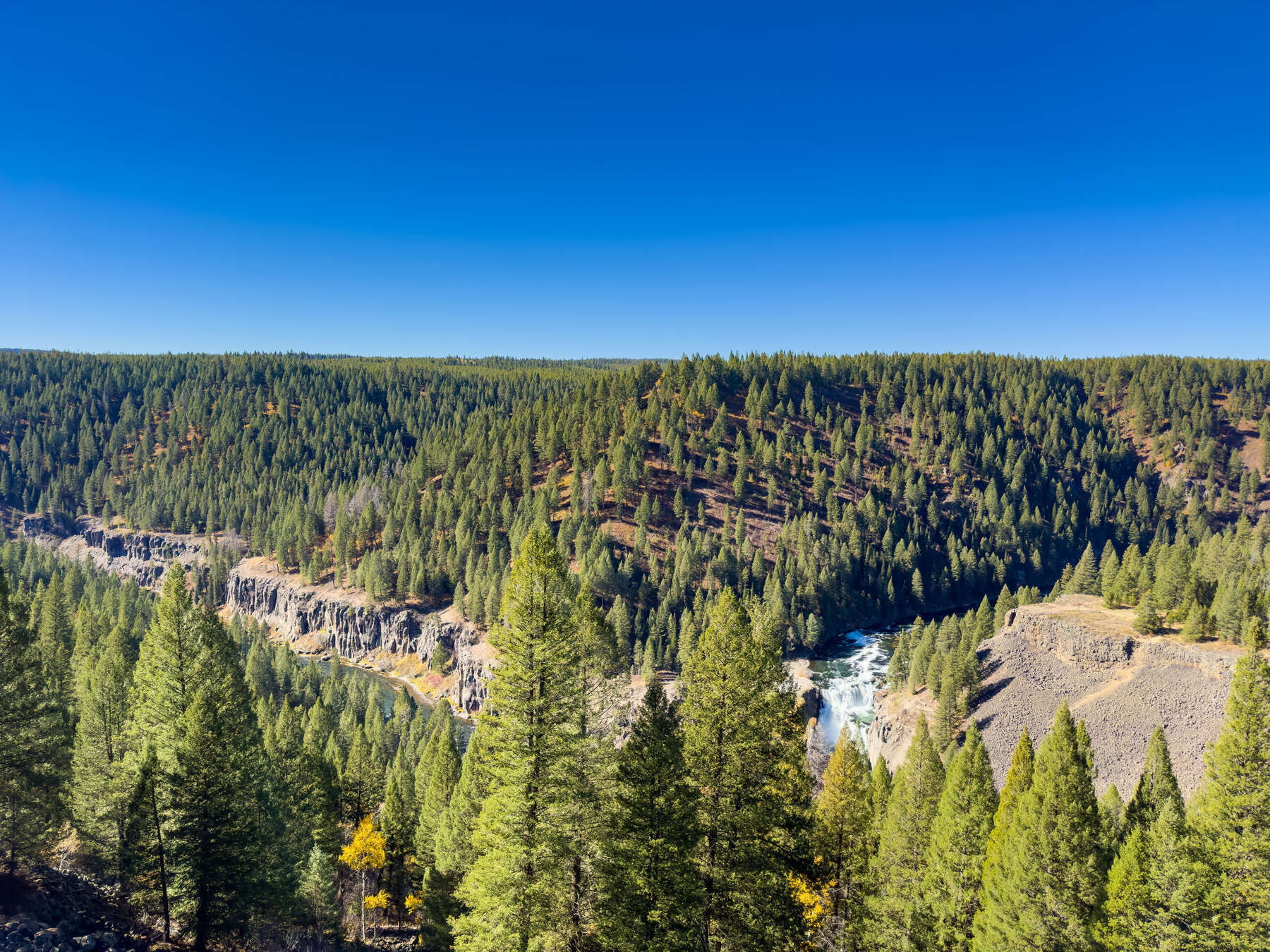
A waterfall on the Henrys Fork along Idaho's Mesa Falls Scenic Byway, one of the last major falls in the state never diverted for irrigation or hydropower.
Lower Mesa Falls drops over a basalt rim on the Henrys Fork within the Caribou-Targhee National Forest, reached from the Mesa Falls Scenic Byway (Highway 47) in Fremont County. The Forest Service notes that Lower and Upper Mesa Falls are among the last major waterfalls in Idaho never diverted for irrigation or hydroelectric projects, so the river here still runs at something close to its natural volume. The Forest Service's own byway page does not publish an official drop-height figure for the lower falls, so widely repeated height numbers should be treated as unverified until confirmed on site.
The byway loops roughly 30 miles between Ashton and Island Park, with a developed viewpoint near the falls; check the Forest Service recreation page for current trail and viewpoint specifics before a visit. Highway 47 is seasonal: the Forest Service closes it at the first plowable snowfall each fall and typically does not reopen it until mid-May, depending on conditions, making this effectively a late-spring-through-fall stop. No entrance fee is listed on the official byway page.
Know before you go
Mesa Falls Scenic Byway (Hwy 47), Caribou-Targhee National Forest, Fremont County; developed viewpoint off the byway.
Highway 47 closes at the first plowable snowfall each fall and reopens around mid-May depending on conditions.
Short developed viewpoint off the byway; the official page does not specify exact distance — verify locally.
No fee listed on the Forest Service byway page.
Not specified on the official page; contact the Caribou-Targhee National Forest for details.
2026-10-11. Conditions and requirements can change; confirm with the land manager before travelling.
Sources & further reading
- Caribou-Targhee National Forest — Mesa Falls Scenic Highway ↗
- USGS Geographic Names Information System (GNIS) ↗
This is a researched visitor guide, not a claim that our editors have personally visited. Trail conditions, permits, and access can change.