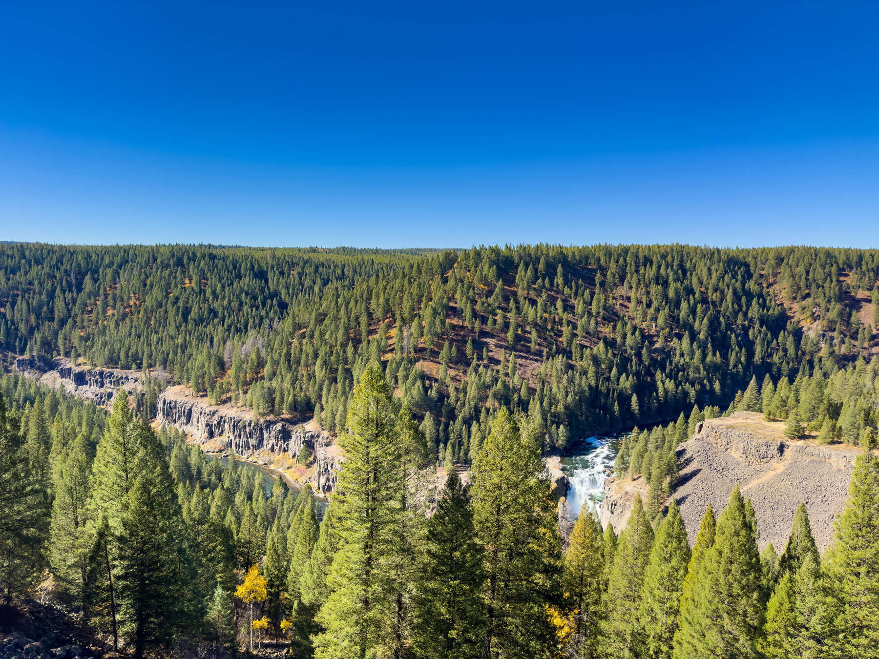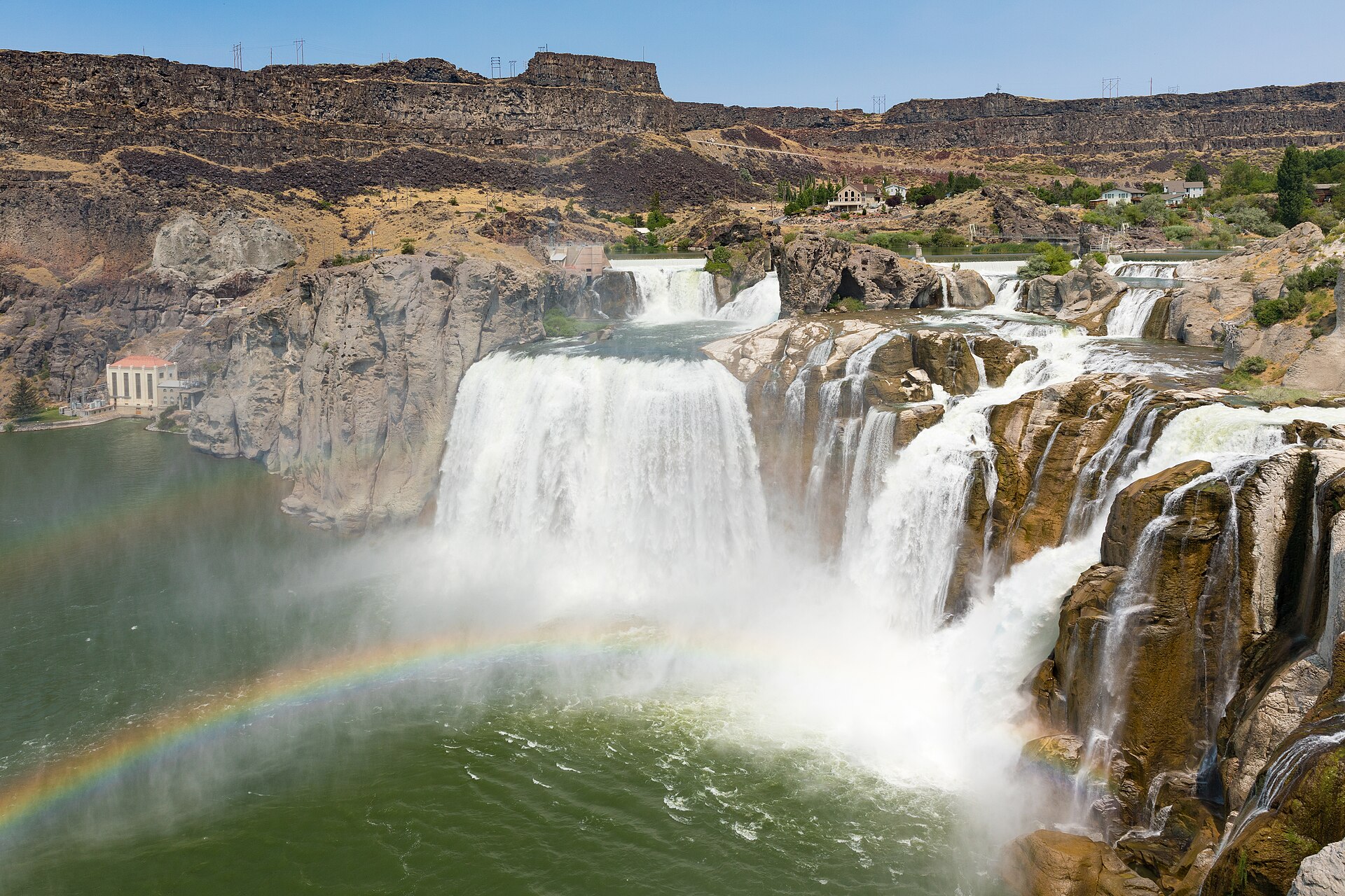
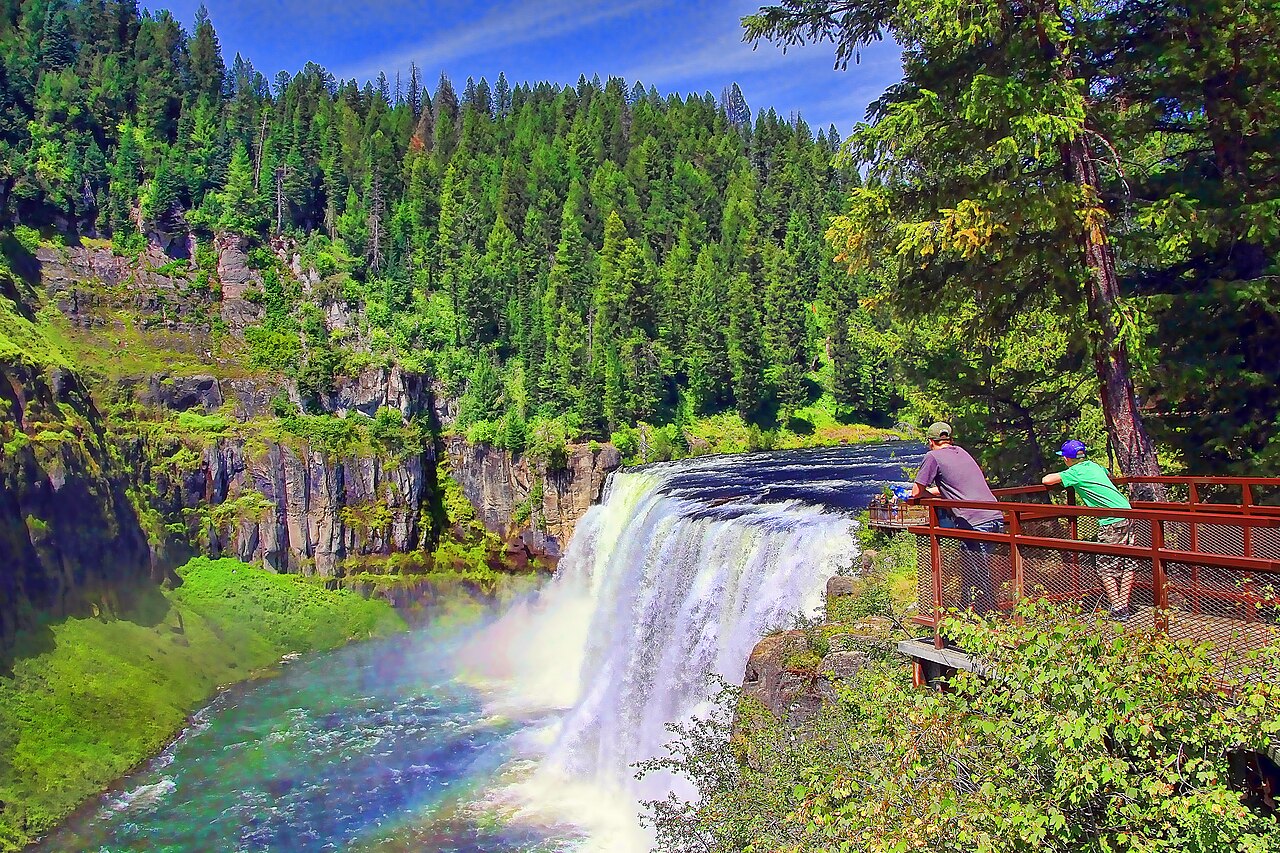
A broad river curtain in eastern Idaho, paired with a second waterfall along the Mesa Falls Scenic Byway.
Upper Mesa Falls drops 114 feet within the Caribou-Targhee National Forest. Its developed viewing area normally brings visitors close to a broad curtain of water, with trails and platforms arranged around the river gorge. Lower Mesa Falls is a separate stop farther along the scenic byway, offering another perspective on this volcanic landscape.
Access planning is essential for a near-term visit. The Forest Service announced that the entire Upper Mesa Falls area would close beginning August 10, 2026 for renovation, with work continuing into winter. Check the official notice for completion or reopening before driving there. The usual availability of accessible viewing facilities does not override that closure. When access resumes, combine the upper area with the officially designated lower-falls overlooks, respecting any remaining work zones and checking seasonal road conditions before setting out.
Forest Service announcement: Upper Mesa Falls closes from August 10, 2026 for renovation continuing into winter. Recheck the official notice; no live reopening claim is made here. Check the current notice ↗
Know before you go
Mesa Falls Scenic Byway near Ashton; verify renovation closure first.
Seasonal roads and construction affect access.
Developed viewpoints when open; Lower Falls is a separate stop.
Check current Forest Service day-use information.
Normally an accessible developed site; verify reopening and facilities.
2026-10-11. Conditions and requirements can change; confirm with the land manager before travelling.
Sources & further reading
- US Forest Service — Upper Mesa Falls closure notice ↗
- US Forest Service — Caribou-Targhee visitor brochure ↗
- Recreation.gov — Mesa Falls Scenic Byway ↗
- USGS Geographic Names Information System (GNIS) ↗
This is a researched visitor guide, not a claim that our editors have personally visited. Trail conditions, permits, and access can change.