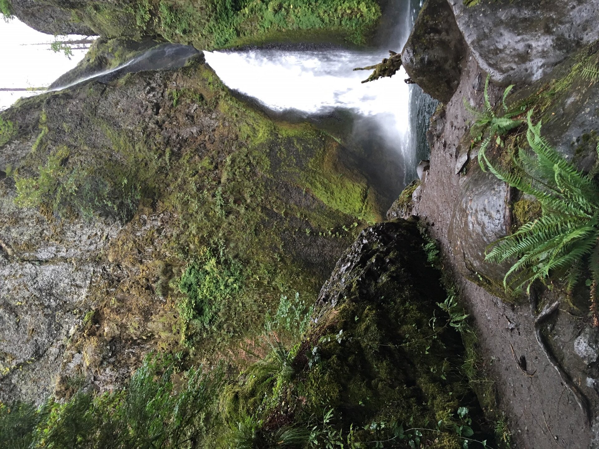
A short Columbia River Gorge trail along Tanner Creek ends at a two-tiered waterfall tucked into a mossy box canyon.
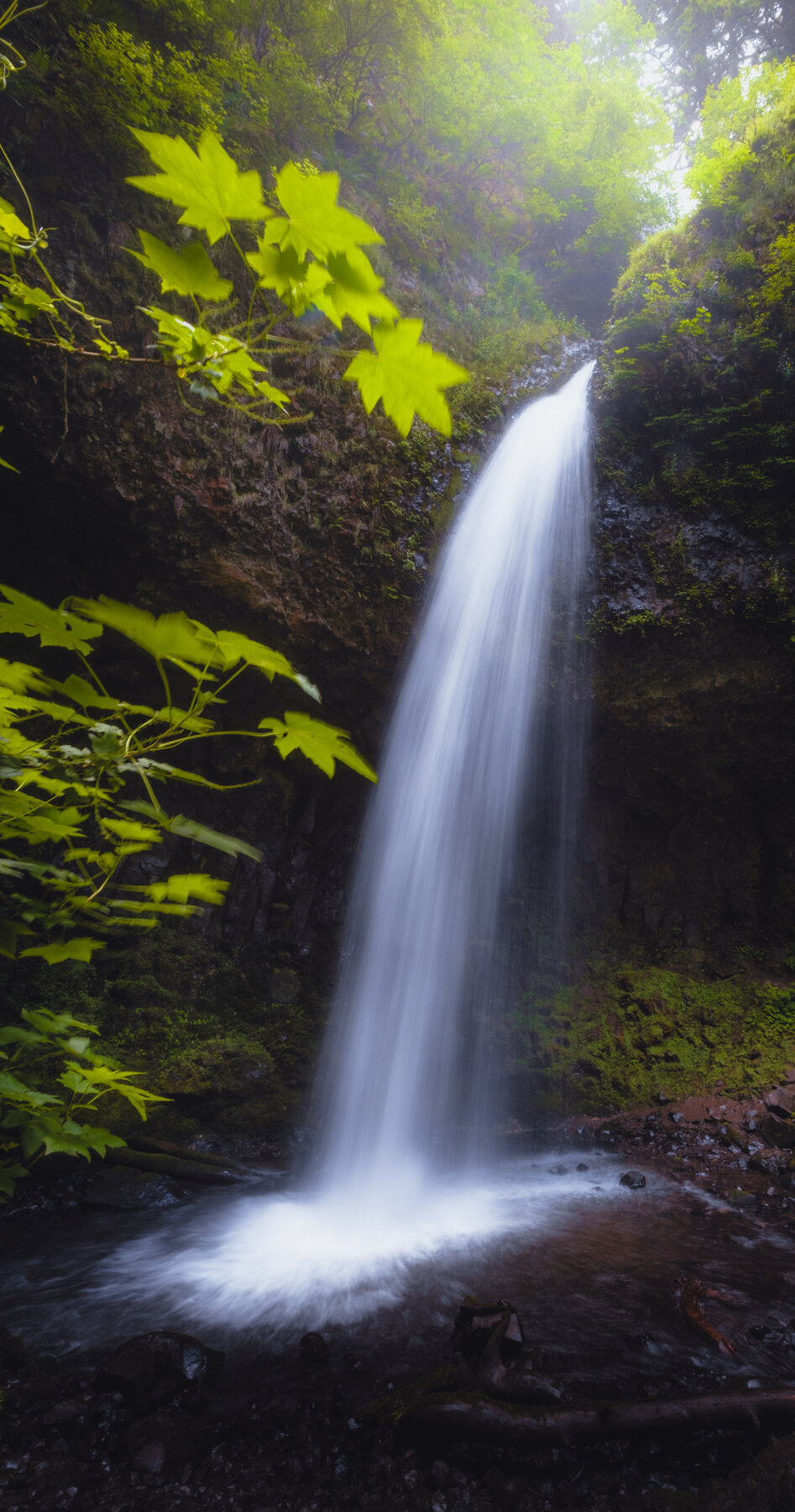
Wahclella Falls drops in two tiers out of a narrow, mossy box canyon on Tanner Creek, in the Columbia River Gorge east of Portland. The lower tier spills over a jumble of basalt boulders before the creek fans out into a shallow pool, and the amphitheater of rock walls around it keeps the spot shaded and cool even on hot summer days. It's one of the most-visited short hikes in the Gorge, popular with families precisely because the payoff is so large relative to the effort required to reach it.
The trail is a roughly two-mile round trip along Tanner Creek, graded easy to moderate, with a couple of short rockier sections and a footbridge crossing partway in; dogs on leash are allowed. Parking is at the Tanner Creek trailhead off I-84 Exit 40, where a Northwest Forest Pass (or other valid interagency pass) must be displayed on the dash. As of this check, the U.S. Forest Service's current alert lists for both the Columbia River Gorge National Scenic Area and Mt. Hood National Forest carried no closure or hazard notice specific to Wahclella Falls or the Tanner Creek trail, unlike several other Gorge trails still affected by past fire damage.
Know before you go
Tanner Creek Trailhead off I-84 Exit 40, Columbia River Gorge National Scenic Area, Mt. Hood National Forest.
Open year-round; the shaded canyon can hold ice in winter, so trail traction may be useful in cold months.
About 2 miles round trip, easy to moderate, with one footbridge crossing and some uneven rocky footing near the falls.
Northwest Forest Pass or other interagency pass required for parking at the trailhead.
Not paved or wheelchair accessible; the surface is dirt and rock with some short, uneven sections.
2026-10-13. Conditions and requirements can change; confirm with the land manager before travelling.
Sources & further reading
- Columbia River Gorge National Scenic Area recreation (U.S. Forest Service) ↗
- Columbia River Gorge NSA current alerts and notices (U.S. Forest Service) ↗
- Mt. Hood National Forest current alerts and notices (U.S. Forest Service) ↗
- USGS Geographic Names Information System (GNIS) ↗
This is a researched visitor guide, not a claim that our editors have personally visited. Trail conditions, permits, and access can change.