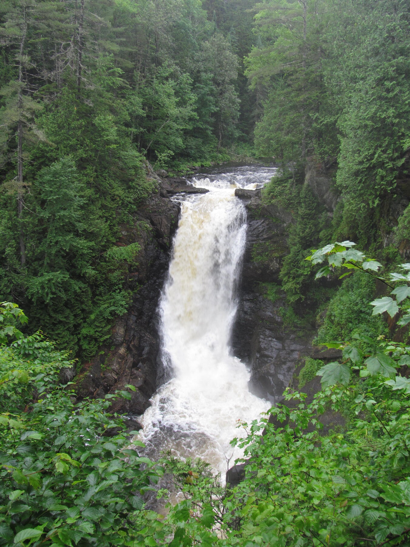
Pumgustuck is a named waterfall feature in the Cumberland area of Maine.
The U.S. Geological Survey records this feature at 43.798920, -70.178490. The map link opens that geographic point so you can understand where the feature lies in relation to the surrounding area.
This entry currently provides a source-backed location record. A visitor route, public-access status, seasonal advice, and an original on-the-ground review have not been verified for this listing.
The GNIS record places the feature on the Yarmouth USGS topographic map. That is a map-sheet name, not a confirmation that the waterfall sits in a town of the same name.
Geographic & name notes
The following public-domain notes are reproduced from the USGS names database. They may describe historical naming or geography; they do not establish present-day access.
The Royal River falls to the Royal River estuary at the waterfall known as Pumgustuck. Heading up the river from the estuary, Pumgustuck is the first of four waterfalls on the Royal River in Yarmouth, Maine.
The Wabanaki place name Pumgustuck translates as "falls goes out place." It describes the place where the Royal River falls to the Royal River estuary and then toward Casco Bay. The falls goes out place is where paddlers would begin or end a portage, where fish and bears would be plentiful. In 2015, the place name Pumgustuck was recognized and celebrated by the Penobscot Nation's Penobscot Cultural & Historic Preservation Department in its published Map and Gazetteer as one of the few remembered place names in this region. While Pumgustuck has been the clear name through all recorded history, today the falls have no formal name under local, county, state, or federal protocol. From a non-native governmental perspective, the falls are only known informally as First Falls, Grist Mill Falls, Lower Falls, or Pumgustuck. Wabanaki Yarmouth residents and their town allies have come together to seek exposure and acknowledgement on this land and cultural issue in opposition to historical genocide, colonization, and cultural erasure, while recognizing indigenous Wabanaki names for certain places. This seemingly small change will help visitors align their intentions with the land, respect the land and its first inhabitants, and acknowledge the pain and oppression that we now work to repair. We hope to instill hope and positivity in the efforts of working together and look forward to living together respectfully and aware.
Plan a visit carefully
Identify the managing landowner or agency and a lawful visitor route before setting out. A mapped waterfall can be on private, tribal, protected, or inaccessible land. Do not treat the feature coordinate as a parking location or a driving destination.
Not yet verified.
Not yet verified.
Not yet researched for this entry.
A correctly identified, reusable photograph is still being sourced.
Sources & further reading
- USGS Geographic Names Information System (GNIS) — feature 2832425 ↗
- USGS — how GNIS records are defined ↗