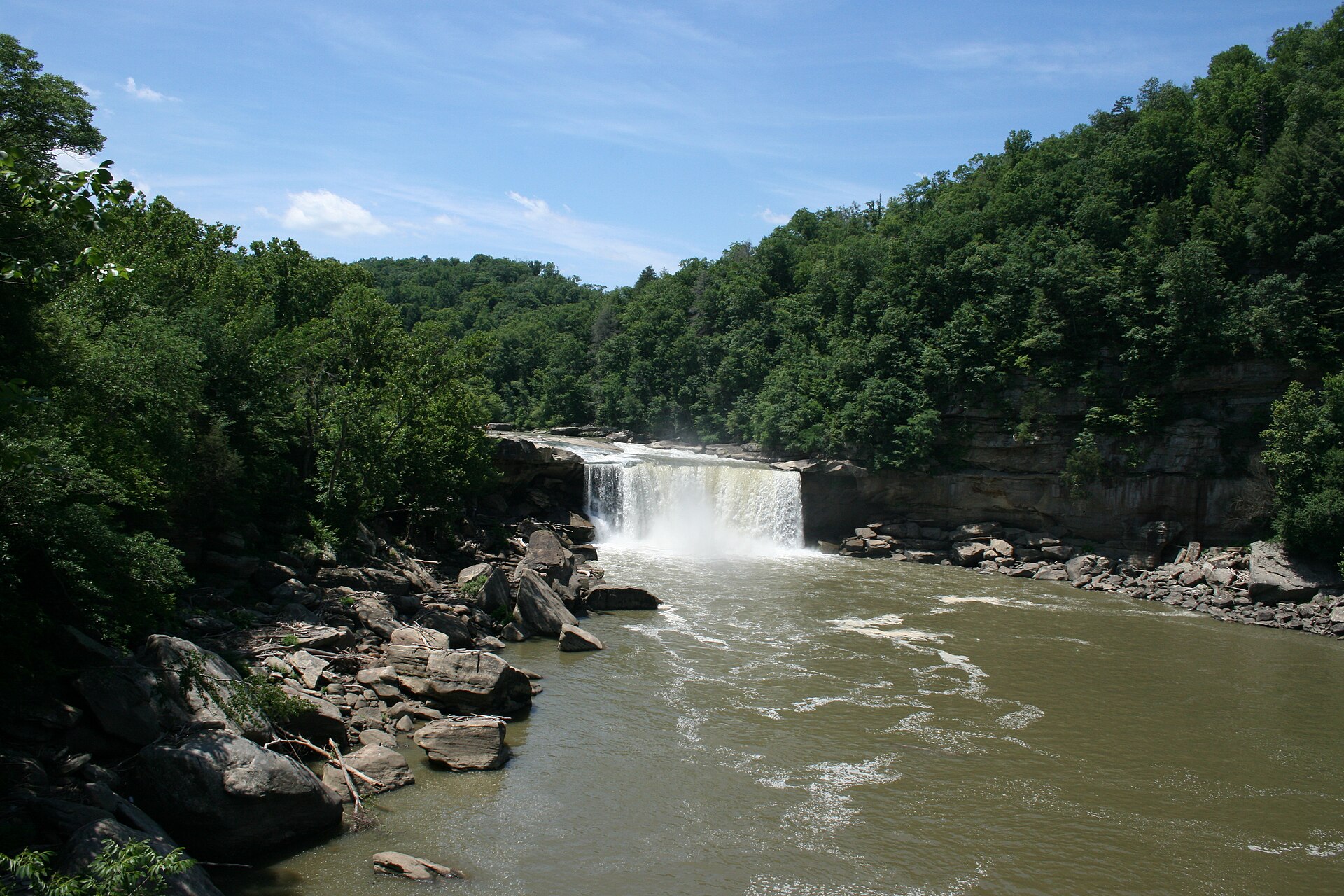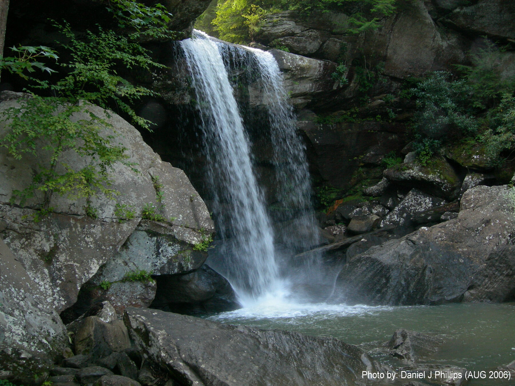
A small waterfall on Dog Slaughter Creek in the Daniel Boone National Forest, reached from near Cumberland Falls via the Sheltowee Trace.
Dog Slaughter Falls is a small waterfall, commonly reported at around 15 to 20 feet, where Dog Slaughter Creek meets the Cumberland River in the Daniel Boone National Forest's London Ranger District in Whitley County, near Cumberland Falls State Resort Park. It is typically reached by following the Sheltowee Trace National Recreation Trail downstream from Cumberland Falls, or via the shorter Dog Slaughter Trail directly to the falls. We confirmed the Forest Service actively manages this part of the forest through its current recreation and alerts pages, but could not load the specific trail page for exact up-to-date mileage, so verify current distance with the forest before a trip.
At review, the Daniel Boone National Forest's alert page listed a tornado-damage closure in London and Pulaski counties and low water levels at Laurel River Lake, but nothing specific to Dog Slaughter Falls or the Sheltowee Trace corridor there. No Forest Service entrance fee applies to hiking here; parking near adjoining Cumberland Falls State Resort Park may carry its own rules, so check current signage. Expect a natural-surface trail with creek crossings, and check conditions after heavy rain.
Know before you go
Reached via the Sheltowee Trace National Recreation Trail downstream from Cumberland Falls State Resort Park, or the Dog Slaughter Trail directly, in the Daniel Boone National Forest's London Ranger District, Whitley County.
Flow is creek-fed and varies with rainfall; check current forest conditions, especially after storms.
Specific up-to-date mileage not confirmed on the official forest page at review; commonly described as a short hike from the Cumberland Falls area - verify current distance with the forest before going.
No Forest Service entrance fee reported for this area; check separately for any Cumberland Falls State Resort Park parking rules.
Not an accessible or paved route; expect a natural-surface trail with creek crossings.
2026-10-12. Conditions and requirements can change; confirm with the land manager before travelling.
Sources & further reading
- USDA Forest Service — Daniel Boone National Forest Recreation ↗
- USDA Forest Service — Daniel Boone National Forest ↗
- USGS Geographic Names Information System (GNIS) ↗
This is a researched visitor guide, not a claim that our editors have personally visited. Trail conditions, permits, and access can change.