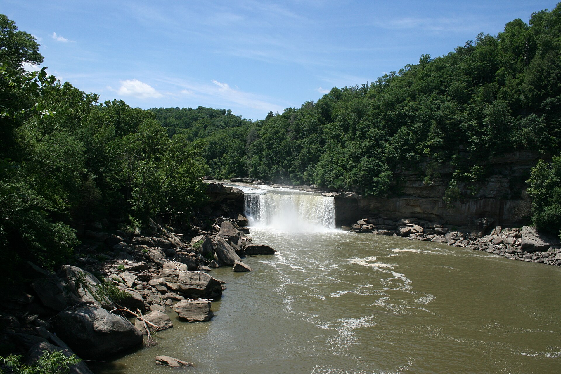
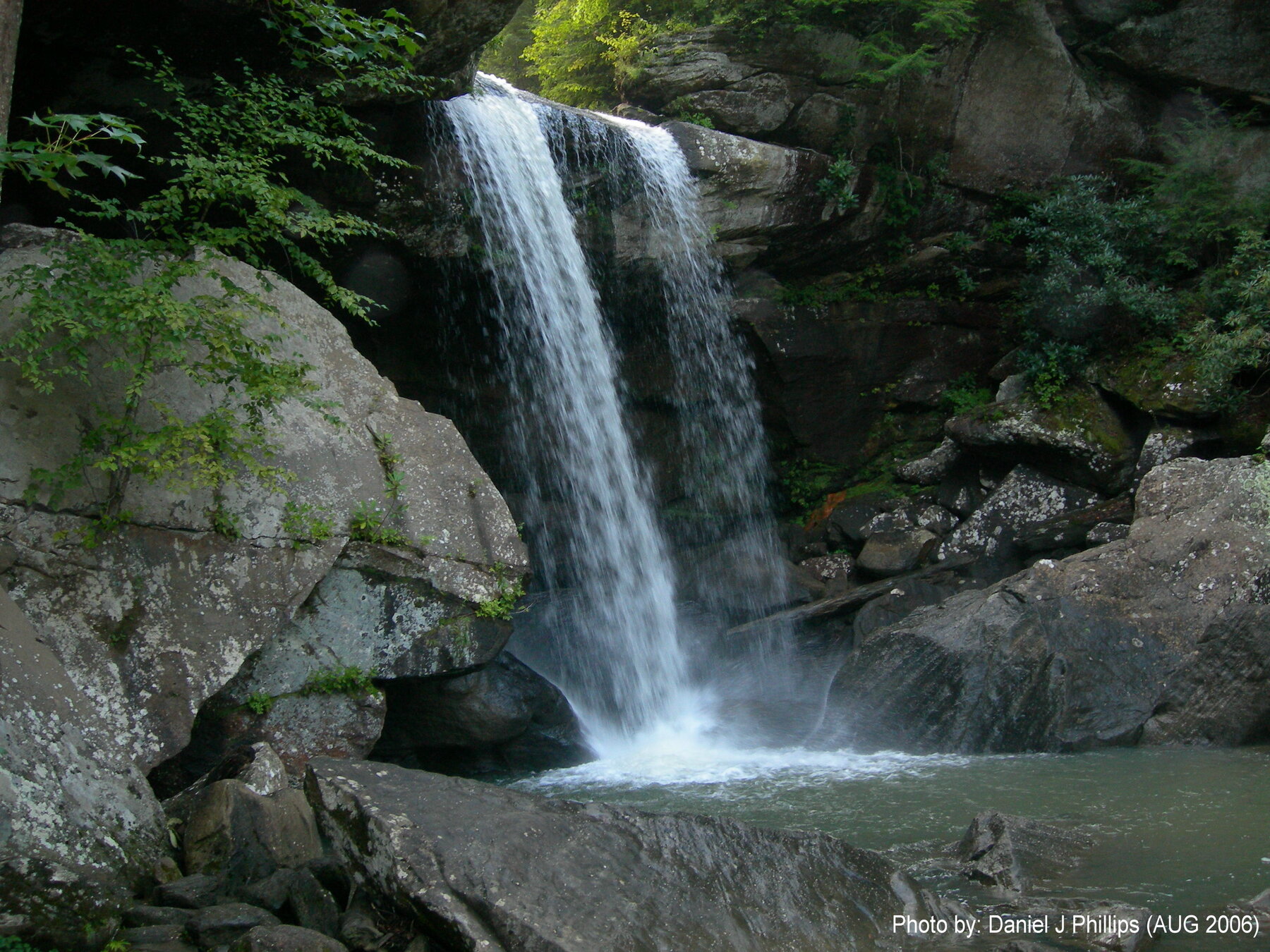
A McCreary County waterfall reached by a cliffline trail with one of the best views of nearby Cumberland Falls.
Eagle Falls is reached via Trail 9 at Cumberland Falls State Resort Park, which Kentucky State Parks describes as the only trail leading to this waterfall. The route is listed at 1.8 miles, following the cliff line for much of its length to what the park calls one of the best views of Cumberland Falls itself. After crossing a seasonal stream, the trail becomes a loop, with a spur leading down to the river.
The park does not list a fee for Eagle Falls Trail, and it notes a standing trail condition rather than a dated closure: the lower section can be under water during high water, and the latter stretch of trail is rugged. Many visitors pair the hike with a look at Cumberland Falls' moonbow, which the park says appears for roughly two days around each full moon in clear weather. Check current Kentucky State Parks trail notices before heading out, especially after heavy rain, and expect uneven, cliffside footing rather than a flat walk.
Know before you go
Cumberland Falls State Resort Park, Trail 9 (Eagle Falls) trailhead off KY 90, Corbin, KY (McCreary County).
Open year-round; check current trail conditions, especially after heavy rain.
Trail 9 (Eagle Falls Trail), 1.8 miles per Kentucky State Parks; follows the cliff line and becomes a loop after crossing a seasonal stream.
No fee listed for this trail.
Rugged, cliffside terrain; not an accessible route. Lower section may flood in high water.
2026-10-11. Conditions and requirements can change; confirm with the land manager before travelling.
Sources & further reading
- Kentucky State Parks -- Eagle Falls Trail ↗
- Kentucky State Parks -- Cumberland Falls State Resort Park ↗
- USGS Geographic Names Information System (GNIS) ↗
This is a researched visitor guide, not a claim that our editors have personally visited. Trail conditions, permits, and access can change.